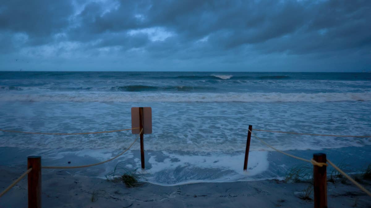
The National Weather Service has issued a tornado watch for parts of Arkansas, Louisiana, Oklahoma, and Texas as severe storms barrel through the South Central United States. The watch, effective until 7 p.m. Central Time, warns of potential strong tornadoes and wind gusts up to 75 MPH. This is a fast-moving situation that demands immediate attention from residents in the affected areas.
According to meteorologists, the primary threats include damaging winds that could knock down trees and power lines, as well as the possibility of powerful tornadoes touching down. The watch area covers major cities and rural communities alike, so everyone in the region should stay alert. This comes on the heels of other severe weather events this week, including giant hail and damaging winds that put six states on alert earlier Tuesday.

What the Tornado Watch Means
A tornado watch means conditions are favorable for tornadoes to develop. It does not mean a tornado has been spotted, but it's a call to prepare. The watch is in effect for the following areas:
- Arkansas
- Louisiana
- Oklahoma
- Texas
These states have already seen volatile weather patterns this spring, and this latest system could pack a punch. For those in the path, it's critical to have a plan ready. The NWS emphasizes that wind gusts of 75 MPH can cause significant damage, similar to a weak tornado, so treat this threat seriously.
Safety Tips for Severe Weather
When a tornado watch escalates to a warning, every second counts. Here's what experts recommend:
At Home
Head to your basement, safe room, or an interior room on the lowest floor away from windows. Don't forget your pets if you have time. Avoid rooms with large windows or glass doors.
At Work or School
Follow your tornado drill. Move calmly to a designated shelter area, staying away from windows and large open spaces like gymnasiums or auditoriums. If you're in a building without a basement, find a small interior room or hallway.
If You're Outside
Seek shelter in a sturdy building immediately. Sheds, storage facilities, mobile homes, and tents are not safe. If you're in a vehicle, that's also dangerous—drive to the nearest shelter. If you can't reach one, get down in your car and cover your head, or abandon it and lie flat in a low-lying area like a ditch or ravine.
This watch is part of a broader severe weather outbreak that has already impacted multiple states. Earlier reports indicated 11 states were on high alert as the tornado threat loomed, and this latest watch expands the danger zone. The NWS also issued warnings for 60 MPH winds and baseball-sized hail in three states, showing the unpredictable nature of this storm system.
Stay tuned to local news and NOAA Weather Radio for updates. The watch is in effect until 7 p.m. CT, but conditions can change rapidly. Keep your phone charged, have an emergency kit ready, and check on neighbors who might need assistance. The next few hours could be decisive for many communities across the South Central US.