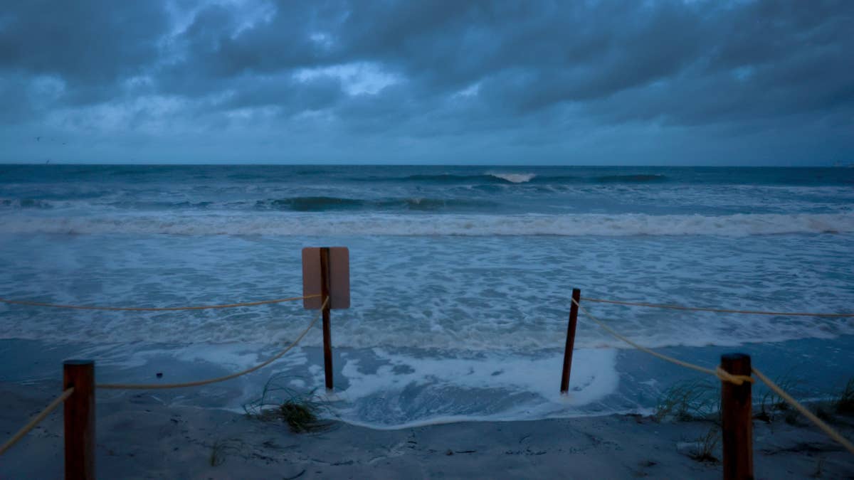
The National Weather Service has sounded the alarm for a dangerous weather outbreak targeting six states across the southern and central U.S. on Tuesday. With forecasts calling for hail larger than 4 inches in diameter, destructive wind gusts, and the potential for multiple tornadoes, residents are urged to prepare now.
The warning, issued Monday evening, covers Texas, Oklahoma, Missouri, Arkansas, Louisiana, and Mississippi. These areas are bracing for what could be a volatile day as multiple rounds of severe thunderstorms roll through the southern Plains and into the lower Mississippi and Tennessee Valleys.

What's Coming?
According to the National Weather Service, the storm system will bring "very large to giant hail" ranging from 2 to over 4 inches in diameter. That's the kind of hail that can shatter windows, dent cars, and cause serious injury to anyone caught outside. Alongside the hail, swaths of severe and damaging winds are expected, with some gusts potentially reaching 60 mph or more. And yes, a few tornadoes are also possible, adding another layer of danger to an already volatile setup.
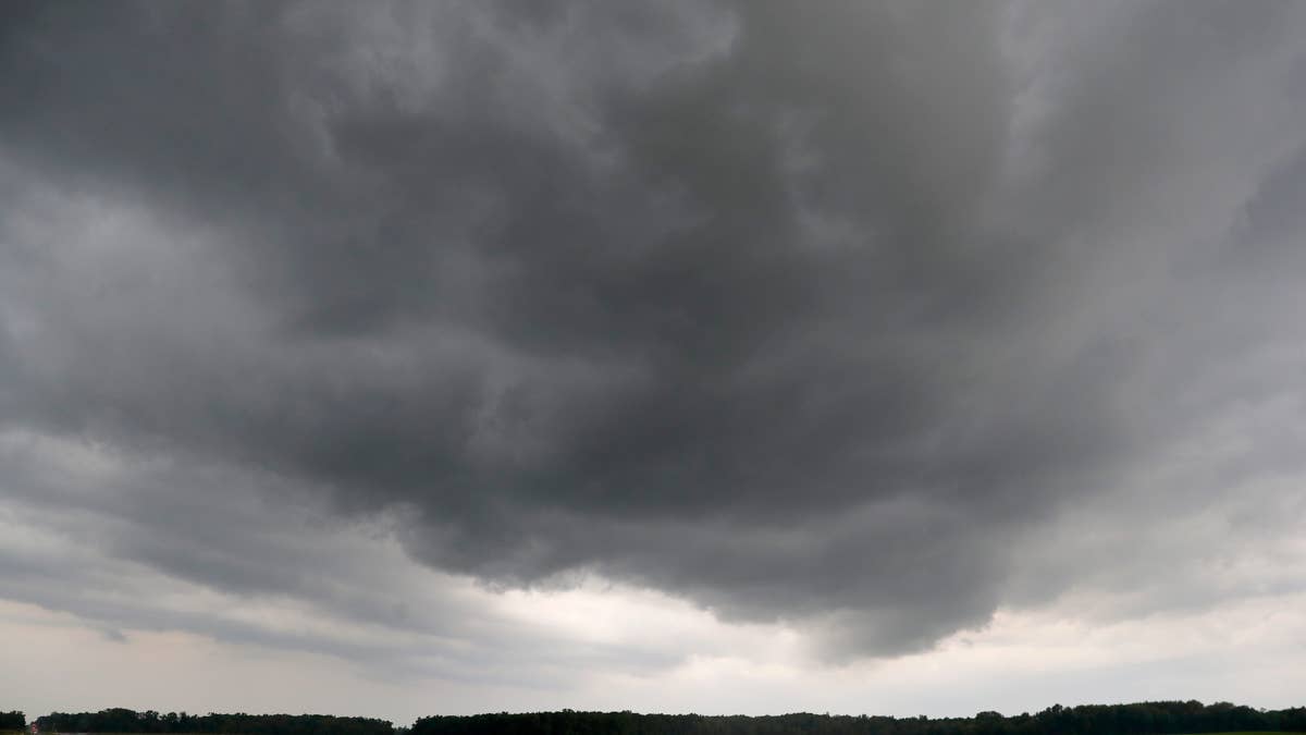
This isn't a drill. The NWS has emphasized that these storms will be "multiple rounds," meaning residents should stay alert throughout the day and into the evening. If you live in any of the affected states, now is the time to review your severe weather plan.
Safety First: What to Do When Storms Hit
When severe weather threatens, every second counts. Here's a quick refresher on staying safe:
- At home: Head to your safe room or basement immediately if a warning is issued. Bring your pets if time allows.
- At work or school: Stay away from windows. Avoid large, open spaces like cafeterias or gyms.
- Outside: Get inside a sturdy building right away. Sheds and storage units won't cut it, and never take shelter under a tree—it's a lightning risk and could fall on you.
- In a vehicle: While a car is safer than being outdoors, drive to the nearest secure building if you can. If not, pull over and stay low.
For more on what to expect, check out our earlier coverage: 60 MPH Winds and Baseball-Sized Hail: 3 States Brace for Terrifying Thunderstorm and 7 States Bracing for Extreme Thunderstorms: Tuesday's Forecast Packs a Punch.
Storms Could Disrupt Sports and Travel
With severe weather expected throughout the day, Tuesday's sports schedule could face delays or cancellations across the region. High school and college games, as well as professional practices, may need to adjust. If you're planning to attend an outdoor event, keep a close eye on the radar and local alerts.
This storm system is part of a larger pattern that has already put several states on high alert. Earlier this week, 11 states were on high alert as a tornado threat loomed Tuesday, and the danger hasn't passed yet.
Stay weather-ready by monitoring local news and NOAA Weather Radio. Severe thunderstorm watches and warnings can change rapidly, so don't let your guard down. The next few hours could be critical for millions of people across the southern Plains and Mississippi Valley.
We'll keep you updated as this story develops. Until then, stay safe and stay informed.