Mother Nature is turning up the heat—and not in a good way. The National Weather Service has issued a high-alert bulletin for the central U.S. as a powerful storm system barrels toward Illinois and Indiana, promising a rough ride for residents on Wednesday.
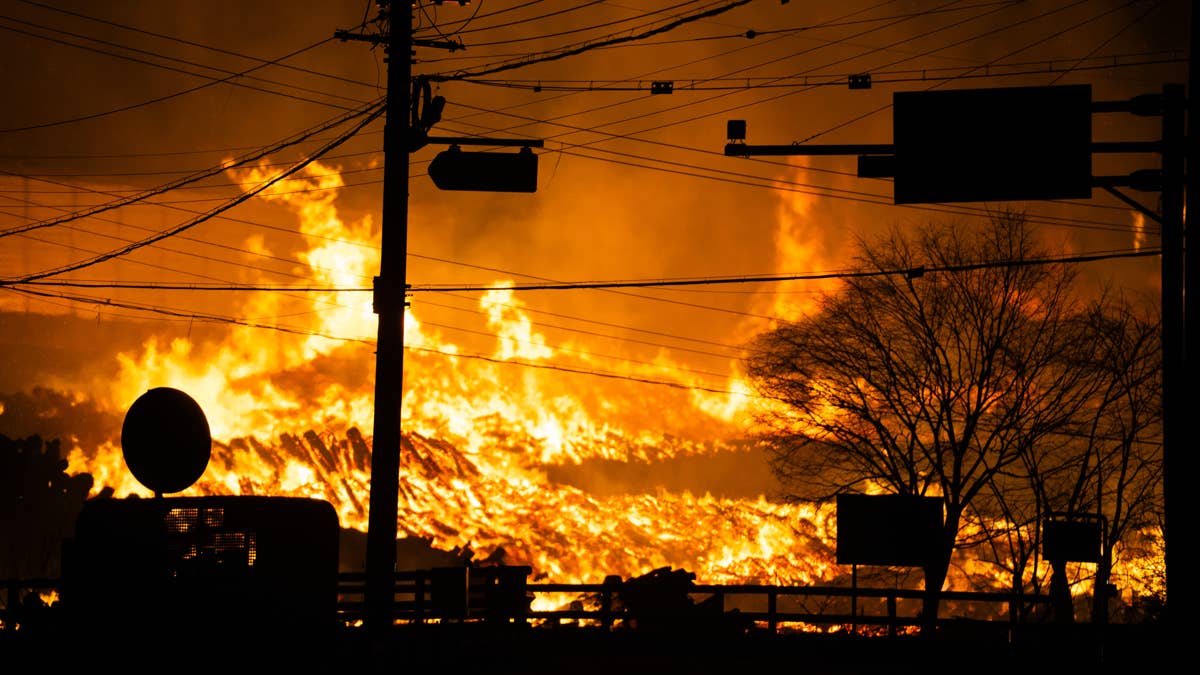
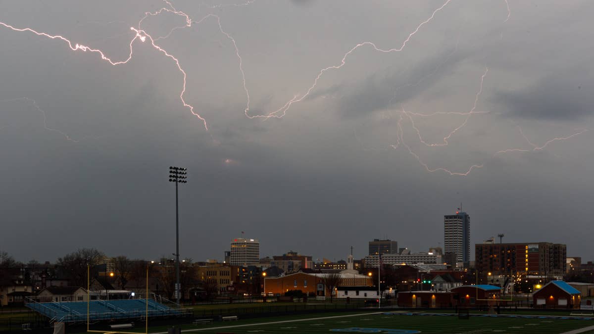
The NWS Storm Prediction Center flagged the two states for a severe weather outbreak on June 17, with thunderstorms expected to pack a punch. We're talking damaging winds up to 70 mph, hail the size of golf balls, and even a tornado or two in the mix. This isn't your run-of-the-mill summer shower—this is a full-blown atmospheric showdown.
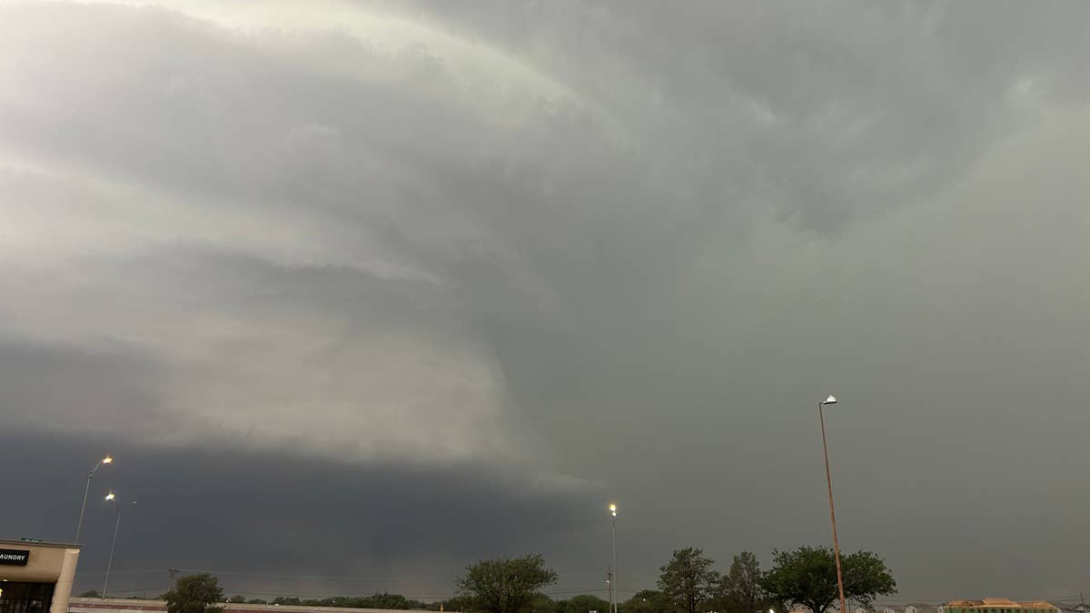
On Tuesday, the NWS had already issued a severe thunderstorm watch for parts of Illinois, Indiana, Michigan, and Ohio, warning of scattered storms along a cold front. But the Wednesday forecast narrows the bull's-eye squarely on Illinois and Indiana. "Thunderstorms will form this afternoon along a cold front and sweep eastward across the watch area," the advisory stated. "The strongest storms will be capable of damaging winds and large hail. A tornado or two is also possible."
The watch area stretches roughly 55 miles east and west of a line from 30 miles south of Terre Haute, Indiana, to 30 miles east-northeast of Grand Rapids, Michigan. That's a lot of real estate under the gun. For context, this follows a pattern of volatile weather across the region—just last week, three Midwest states braced for up to 4 inches of rain, and now the threat is escalating.
Safety First: How to Stay Ahead of the Storm
When the sky turns angry, preparation is your best defense. Here's a quick rundown of what to do if you're in the danger zone:
- Stay Weather Ready: Keep a NOAA Weather Radio or a reliable news app handy. Watches and warnings can pop up fast—don't get caught off guard.
- At Home: Head to a secure location—preferably a basement or interior room—if a severe thunderstorm warning hits. Grab your pets if you can.
- At Work or School: Avoid windows and steer clear of large, open areas like cafeterias or gyms. Those spaces can turn dangerous in a flash.
- Outdoors: Seek shelter in a sturdy building immediately. Sheds and storage units won't cut it. And whatever you do, don't hide under a tree—it's a lightning magnet and could topple on you.
- In a Vehicle: Pull over safely and stay inside. Cars offer some protection, but they're not invincible against tornadoes or flying debris.
The NWS also reminds us that these storms can escalate quickly. If you hear thunder, you're close enough to be struck by lightning—so get indoors. This isn't the time for heroics or a quick selfie with the dark clouds.
For sports fans, this weather could throw a wrench into outdoor events. Remember the NWS urging World Cup fans in the Northeast to heed storm safety? Same principle applies here. Whether you're at a ballgame, a cookout, or just mowing the lawn, when the sirens sound, it's time to move.
The good news? Forecasters hope this system clears out by Thursday, giving the region a breather. But for now, Illinois and Indiana are in the crosshairs. Stay alert, stay safe, and keep an eye on the sky.