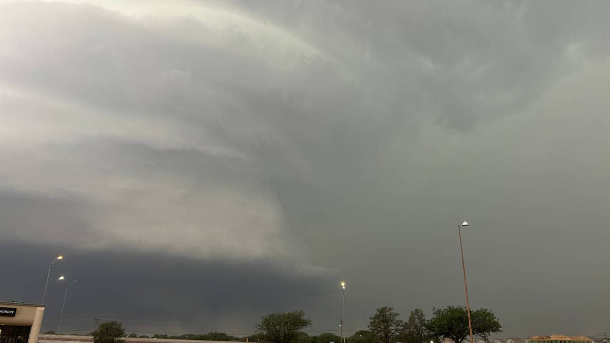
Get ready for a wild night, weather-wise. The National Weather Service has placed two states on high alert as severe storms threaten to spin up tornadoes and unleash damaging winds this Friday night.
Central Missouri and western Illinois are in the crosshairs as a volatile air mass sweeps through the region. Forecasters are tracking a surface low over central Iowa, with warm, humid air surging northward into Missouri, setting the stage for explosive thunderstorm development.

“Air mass recovery is ongoing across portions of western and central Missouri behind morning thunderstorm activity,” the National Weather Service explained. “A surface low is currently located across central Iowa, with modest south to southwesterly flow and temperatures warming back into the mid 80s across Missouri.”
This unstable atmosphere, combined with strong wind shear, creates the perfect recipe for supercell storms capable of producing tornadoes and damaging wind gusts. The primary threats are expected to be destructive winds and a couple of tornadoes, with the greatest tornado risk in areas where surface winds have a southeasterly component, boosting low-level rotation potential.
“Deep layer shear around 35-40 kts will support supercells,” the NWS noted. “The main threats will likely be damaging wind and a couple of tornadoes.”
Residents in the affected zones should review their severe weather plans now, especially if they live in mobile homes or areas prone to tornadoes. For those in the path, the NWS recommends staying weather-ready by listening to local news or a NOAA Weather Radio for updates.
If a tornado warning is issued for your area, head to your basement, safe room, or an interior room away from windows. Don’t forget your pets if time allows. At work or school, follow your tornado drill and proceed to your shelter location quickly and calmly, avoiding large open spaces like cafeterias and gymnasiums.
If you’re outdoors, seek shelter inside a sturdy building immediately. Sheds, storage facilities, mobile homes, and tents are not safe. In a vehicle, your best bet is to drive to the nearest shelter. If you can’t make it, get down in your car and cover your head, or abandon the vehicle and lie flat in a low-lying area like a ditch or ravine.
This comes on the heels of other severe weather events across the country, including strong wind gusts in North Dakota and baseball-sized hail threats in the Upper Midwest. The pattern is clearly active, so stay alert and stay safe.
We’re hoping everyone in the affected areas stays safe this Friday night. Keep an eye on the sky, have your phone alerts on, and don’t take chances with severe weather.