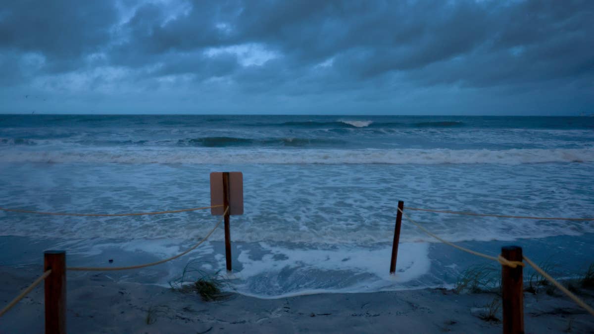
The weather is turning wild across the Midwest this Thursday, with three states set to take a serious soaking. The National Weather Service has issued warnings for Illinois, Iowa, and Missouri, where severe storms could unleash up to 4 inches of rain through Friday afternoon.
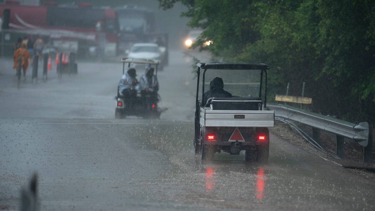
According to the latest forecast, a slow-moving front is driving repeated rounds of thunderstorms across the region. While 2 to 3 inches of rain is expected in most areas, localized pockets—especially near the borders of Missouri, Iowa, and Illinois—could see totals exceed 4 inches. That's enough to turn streets into rivers and cause dangerous flash flooding.

The NWS is particularly concerned about Iowa and Missouri, where soils are already saturated from recent heavy downpours. Flash flood guidance thresholds in parts of southwestern and southern Iowa have dropped to around 1 inch per hour, meaning even moderate rain rates could quickly overwhelm drainage systems. Forecasters note that storm motions are moving at a brisk 40 to 45 knots, but a phenomenon called “training”—where storms repeatedly move over the same area—could produce rain rates of 1.5 inches per hour or more.
“The ongoing scenario supporting flash flooding should continue for several hours while translating quickly eastward into southern Iowa,” the NWS said in its latest update. “At least isolated instances of flash flooding are expected as this convective band continues to evolve.”
Residents in flood-prone areas are urged to stay alert, especially overnight when it’s harder to spot rising water. The NWS recommends moving to higher ground if flooding threatens and avoiding low-lying spots like stream beds, drainage ditches, and culverts during heavy rain.
This storm system comes on the heels of other severe weather events across the region. Just last week, Nebraska was pounded by 1.5 inches of rain per hour in a flash flood threat, and earlier this month, a frost warning hit three states as June temperatures plunged into the 30s. The Midwest has certainly seen its share of weather extremes lately.
For those living or working in the affected areas, the key is to stay informed and stay safe. The NWS advises keeping an eye on local forecasts and heeding any evacuation orders. If you’re driving, never attempt to cross flooded roadways—turn around, don’t drown.
The good news? Forecasters expect the worst of the rain to taper off by Friday evening, giving the region a chance to dry out over the weekend. Until then, keep an umbrella handy and stay weather-aware.
This is a developing situation, and we’ll keep you updated as more information becomes available. For now, if you’re in Illinois, Iowa, or Missouri, take the warnings seriously and prepare for a wet and potentially dangerous couple of days.