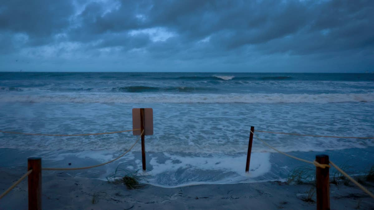
Mother Nature is turning up the heat Thursday night, and not in a good way. A major tornado watch has been issued for three U.S. states, and residents need to be on high alert. The National Weather Service (NWS) warns that severe storms could spawn large hail and several tornadoes, some possibly reaching EF2 strength or higher.
Where the Watch Is in Effect
The tornado watch covers Nebraska, Missouri, and Iowa until 7 PM CDT tonight. This isn't just a routine alert—the NWS has flagged this as a 'major' watch, meaning conditions are ripe for dangerous weather. The storms are expected to fire up in eastern Kansas during the afternoon, then spread southward toward the Kansas/Oklahoma border by evening. A line of storms will push into northern Oklahoma early tonight.

What to Expect: Large Hail and Tornadoes
The NWS warns that initial supercells could produce very large hail, with diameters of 2 to 3 inches—that's roughly the size of tennis balls or even baseballs. For sports fans, this kind of weather can wreak havoc on outdoor events. As we've seen in recent storms threatening Kansas and Oklahoma, hail that size can damage cars, windows, and anything left unprotected.
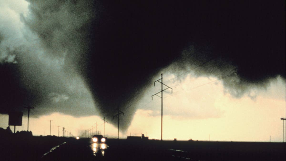
But the bigger concern is tornadoes. The NWS says several tornadoes are possible, and they could be strong—EF2 or higher on the Enhanced Fujita scale. That means winds of 111 to 135 mph, enough to tear roofs off houses and toss cars like toys. As the storms congeal into a line later tonight, the threat will shift more toward damaging winds.
Safety First: How to Prepare
If you're in the watch area, now is the time to review your tornado safety plan. Here are the key steps, according to experts:
- Stay Weather-Ready: Keep a NOAA Weather Radio or local news app handy. Watches mean conditions are favorable; warnings mean a tornado has been spotted or indicated by radar.
- At Home: Head to your basement, safe room, or an interior room on the lowest floor, away from windows. Grab your pets if time allows.
- At Work or School: Follow your tornado drill. Go to the designated shelter quickly and calmly. Avoid large open areas like gyms or auditoriums.
- Outside: If a tornado approaches, get inside a sturdy building immediately. Sheds, mobile homes, and tents are not safe. If you're in a vehicle, drive to the nearest shelter. If that's not possible, get low in the car and cover your head, or abandon the car and lie in a low-lying area like a ditch.
Impact on Sports and Outdoor Events
For sports fans and event organizers, this severe weather could cause major disruptions. We've already seen how tornado threats loom over multiple states, and tonight's watch is no exception. If you're planning to attend a game, concert, or any outdoor activity, check with event organizers for potential delays or cancellations. The Midwest has faced severe disruptions from monster hail and tornadoes before, and this storm system could be just as dangerous.
Even if you're not directly in the watch area, the weather could affect travel or sports schedules. For example, severe thunderstorm risks across eight states have already forced many outdoor events to adjust their plans. Stay tuned to local forecasts and be ready to pivot.
Bottom line: This is a serious situation. Don't take chances. If you're in Nebraska, Missouri, or Iowa, stay alert and have a plan. The storms are expected to intensify through the evening, so keep your phone charged and your eyes on the sky. Stay safe, everyone.