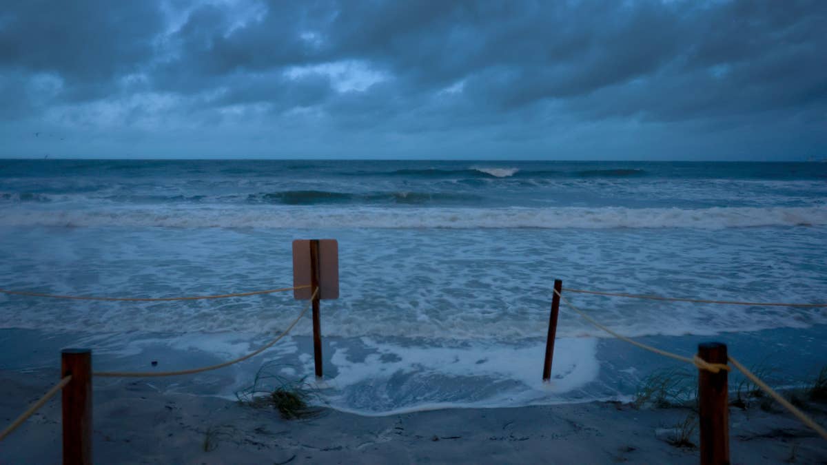
Just as spring tries to make its entrance, winter is delivering one final, formidable punch. A massive storm system is zeroing in on the Upper Midwest, poised to unleash a historic snowfall that could paralyze parts of Minnesota and Wisconsin this weekend.
A Major Winter Weather Event
The National Weather Service has sounded the alarm, issuing a major winter storm warning effective from Friday night through Monday morning. Forecasters are predicting a staggering 1 to 2 feet of snow to blanket the region, with some areas in western and central Wisconsin potentially seeing accumulations exceeding two feet. This isn't just a light dusting; it's a significant weather event that demands attention and preparation.

"Model guidance continues to illustrate a remarkable precipitation footprint across the region which will yield heavy snow accumulations on the order of 1 to 2 feet," stated the National Weather Service. The combination of intense snowfall and powerful wind gusts of 30-40 mph will create a perfect storm for hazardous conditions, significantly reducing visibility and likely triggering periods of blizzard-like weather, particularly across western and southern Minnesota on Sunday.
Travel Warnings and Safety Concerns
Officials are urging residents in the storm's path to take this threat seriously. Travel is expected to become "very difficult or impossible" from late Saturday night through Sunday. The advice is clear: stay off the roads unless absolutely necessary. This kind of weather can strand motorists and create dangerous situations for even the most experienced drivers.
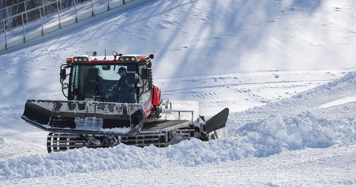
The snow itself presents unique dangers. Forecasters note the snowpack will be exceptionally wet and heavy due to its high water content. This increases the risk of infrastructure damage, such as downed tree branches and power lines, and turns the simple act of shoveling into a serious health hazard. Residents are advised to take frequent breaks if they must clear driveways and walkways.
To stay safe, the National Weather Service recommends remaining indoors during the worst of the storm and preparing a winter emergency kit. This kit should include essentials like warm clothing, a cell phone charger, water, and a flashlight. Being prepared can make all the difference when severe weather strikes.
This late-season blast is a stark reminder that Mother Nature hasn't finished with winter just yet. While fans are focused on soaring March Madness ratings, this storm system is the main event for the Midwest. The disruptive weather could even impact local sports schedules and travel for teams and fans alike, much like the recent severe thunderstorm threats in the Southeast.
For a broader look at the national weather picture, this event is part of a larger pattern of winter's final fury targeting the High Plains and Great Lakes. Meanwhile, as this snowstorm brews, other regions are dealing with their own extreme weather, including the high-wind alerts affecting five states.
Residents across Minnesota and Wisconsin should prepare for significant travel delays and potential disruptions over the next several days. Stay updated with the latest forecasts from the National Weather Service, heed all warnings, and prioritize safety. Sometimes, the biggest competition isn't on the court or field—it's against the elements.