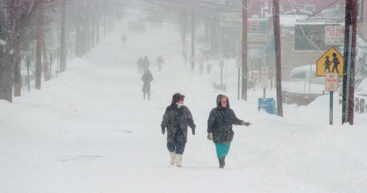
Just as spring tries to make its entrance, Old Man Winter is preparing one last major punch. A significant winter storm system is gearing up to slam portions of the United States this weekend, with the National Weather Service issuing heavy snow warnings for two key regions. This isn't just a light dusting—forecasters are talking about a serious weather event that could disrupt travel and daily life.
Storm Targets Northern States
The primary areas in the crosshairs are the northern High Plains and the northern Great Lakes. The National Weather Service warns that a swath of heavy snowfall is expected to develop, stretching from Montana eastward through the Northern Plains and into the lakes region. States like Montana, Michigan, and Wisconsin are bracing for the brunt of the impact, but the storm's reach could extend into upstate New York and northern New England as well.

This comes on the heels of other severe weather events across the country, including the severe storm threat that put seven states on high alert earlier in the week. It seems Mother Nature is refusing to go quietly this season.
Rate and Impact: What to Expect
The most alarming detail from forecasters is the predicted intensity of the snowfall. Within the heaviest bands, snowfall rates could soar over two inches per hour. "Snowfall rates over 2 inches per hour are likely within the band of heaviest snowfall from southern MN and central WI to northern MI," the National Weather Service stated. To put that in perspective, that's enough snow to quickly cover roads, reduce visibility to near zero, and make travel extremely dangerous.
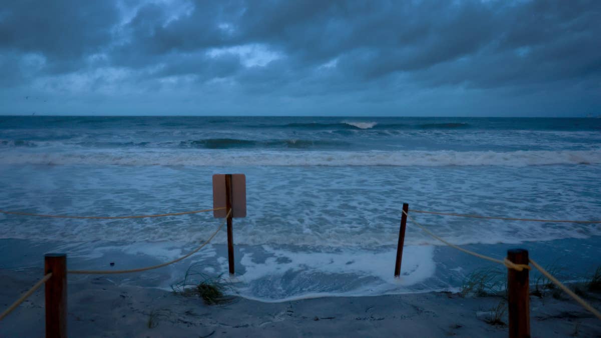
But it's not just about the snow. The agency also highlighted the risk of hazardous ice accumulations in the Great Lakes area, adding another layer of danger for motorists and residents. The combination promises widespread travel headaches and potential power outages.
This kind of disruptive weather can have a major impact on local sports schedules, from high school tournaments to community leagues, forcing cancellations and postponements. It's a stark reminder of how environmental factors play a huge role in the sports world.
Forecast Flexibility and Safety First
Meteorologists are carefully watching the storm's development, noting that the forecast track could still shift. "Shifts in storm track would lead to changes in the axis of heaviest snow, ice and greatest impacts," the National Weather Service acknowledged. This means residents from the Plains to the Northeast should stay updated on the latest local forecasts throughout the weekend.
The timing of this storm, deep into March, serves as a potent reminder that winter isn't over until it says it's over. While teams and athletes might be thinking about spring training, nature has other plans for parts of the country. Safety is the top priority, and officials urge people in the affected regions to reconsider any non-essential travel once the snow begins to fall heavily.
As communities prepare for this blast of winter, it echoes the need for caution seen in other recent safety advisories, such as the urgent warning issued after a tragic hunting accident. Being prepared and informed is key to navigating hazardous conditions.
So, for sports fans and athletes in the northern High Plains and Great Lakes, keep an eye on the sky and your local forecasts. This weekend might be better suited for watching games from the couch than braving the elements outside. Stay safe, stay warm, and let's hope this is winter's final curtain call.