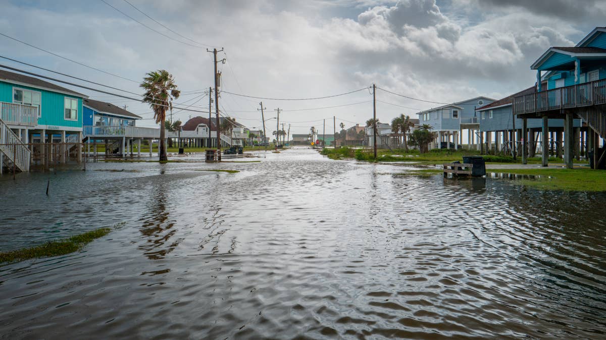
The first tropical system of 2026 is brewing in the Gulf of Mexico, and it's bringing a deluge that could swamp parts of Texas, Louisiana, Mississippi, and Alabama with up to a foot of rain. The National Hurricane Center issued an advisory Tuesday for Tropical Cyclone One, warning that even if the storm doesn't fully strengthen, the real danger lies in the relentless downpours expected over the next two days.
Forecasters are sounding alarms for major cities including Dallas, Houston, San Antonio, and New Orleans, where rainfall rates could reach 2 to 4 inches per hour—or higher. According to CBS News, these areas could see ongoing spells of excessive rainfall, especially over the next 48 hours. The Weather Channel predicts some locations could receive up to 12 inches of rain, turning streets into rivers and threatening property and lives.
More than 40 million people are currently under flood watches and warnings across the region. The system's slow movement could exacerbate the flooding, as the same areas get pounded repeatedly. This comes just weeks after Nebraska was pounded by 1.5 inches of rain per hour in a separate flash flood threat, underscoring a volatile weather pattern gripping the central U.S.
What's at Stake
While the storm's exact track remains uncertain, the primary threat is water—lots of it. Flash flooding is the biggest concern, particularly in low-lying areas, urban centers, and places with poor drainage. The National Weather Service warns that creeks, streams, and drainage ditches could overflow quickly, turning normally dry areas into dangerous torrents.
This tropical system is the first named storm of the 2026 Atlantic hurricane season, which officially began June 1. The season is expected to be above average in activity, and this early cyclone serves as a stark reminder for residents to prepare. The storm's potential to dump massive amounts of rain mirrors the impacts of Tropical Storm Amanda, which churned in the Pacific earlier this year but didn't make landfall.
Safety First
Authorities urge residents in flood-prone areas to take the threat seriously. Here are key safety tips to keep in mind:
- Stay away from flood-prone areas such as stream beds, drainage ditches, and culverts during heavy rains.
- Move to higher ground if flooding threatens your location.
- Remain alert if you live or work in flood-prone zones, especially during periods of heavy rain.
- Be extra cautious at night—flood dangers are harder to spot in the dark.
For those in the path of this storm, preparation is key. Check your emergency kit, know your evacuation routes, and stay tuned to local weather updates. The next 48 hours could bring life-threatening conditions, so don't wait until it's too late.
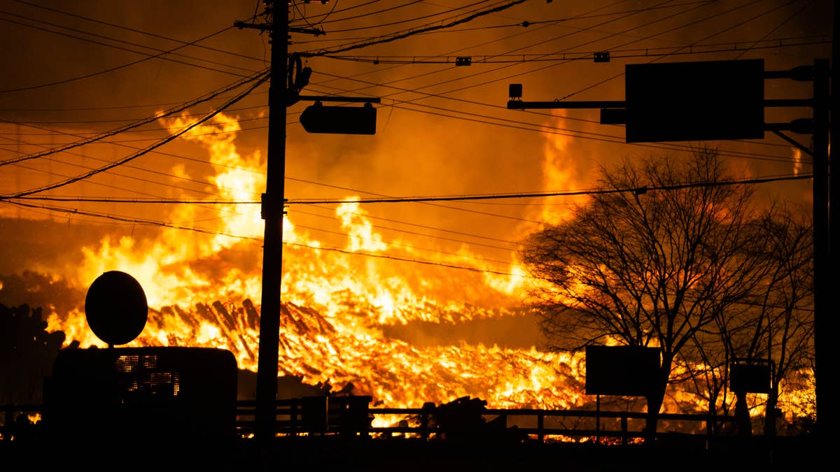
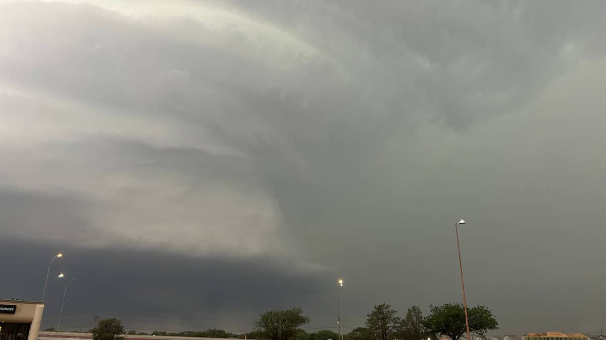
This tropical cyclone follows a pattern of severe weather across the country, including a recent tornado watch that put 10 states in the crosshairs for severe weather. As the climate continues to shift, such extreme events are becoming more frequent, making preparedness more important than ever.