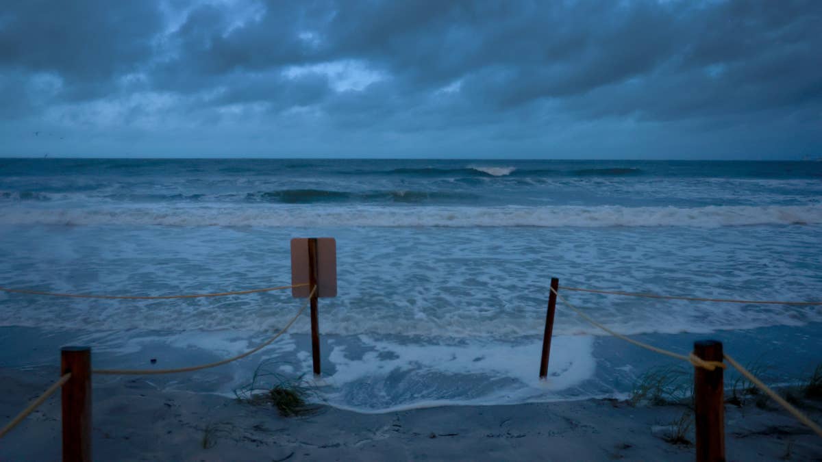
Sports fans across the heartland, take note: Mother Nature is about to make a major play. The National Weather Service has issued a significant flood risk warning for a massive swath of the United States, putting nine states on high alert for potentially dangerous conditions this week. This isn't just a passing shower—it's a system that could disrupt daily life and, of course, the sports schedule.
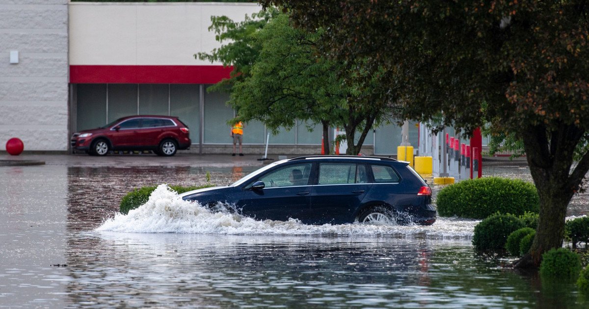
The primary concern is a band of intense showers and thunderstorms expected to dump excessive rainfall from the Southern Plains straight through the Midwest starting Tuesday night. Forecasters are specifically warning of scattered flash floods, with the highest probability in areas marked as having a 'Slight Risk.' This meteorological playbook suggests a challenging week ahead for communities and travelers alike.

States in the Bullseye
The warning casts a wide net, encompassing a diverse group of nine states that are home to countless sports franchises, college teams, and passionate fans. The states bracing for impact are:
- Texas
- Oklahoma
- Arkansas
- Missouri
- Iowa
- Illinois
- Indiana
- Ohio
- Michigan
This widespread alert means major metropolitan areas and rural communities alike need to prepare. The threat of flash flooding is particularly acute, as these sudden events can turn roads into rivers with little warning, creating hazardous conditions for anyone on the move. This kind of severe weather often forces event cancellations and travel delays, echoing recent disruptions like those seen when a severe weather system threatened sports events across 12 states.
Safety First: The Game Plan for Severe Weather
When extreme storms roll in, having a safety game plan is as crucial as any playbook. The National Weather Service and emergency officials emphasize several key strategies to stay safe:
Stay Weather Ready: Keep a local news source or a NOAA Weather Radio handy for the latest updates on watches and warnings. Don't get caught off guard.
At Home: If a severe thunderstorm warning is issued, immediately move to a secure, interior location in your house. If time permits, bring your pets with you, as damaging winds or large hail could be imminent.
At Work or School: Avoid windows and steer clear of large, open spaces like cafeterias, gyms, or auditoriums. These areas can be dangerous during high winds.
Outdoors: Seek shelter inside a sturdy building immediately. Sheds, storage units, and especially standing under trees are not safe. A falling tree is a deadly hazard, and trees also increase your risk of a lightning strike.
In a Vehicle: While a car is safer than being outside, it is not ideal. If you have sufficient time, drive to the closest secure shelter. Remember, it only takes a small amount of fast-moving water to sweep a vehicle away.
This proactive approach to storm safety mirrors the urgency seen in other recent alerts, such as the urgent tornado safety alert issued following deadly weekend storms. Being prepared is the best defense.
With the ground already saturated in many areas from recent spring rains, this new wave of precipitation raises the stakes significantly. Flash flooding can occur rapidly, often before official warnings can be issued, making preemptive caution essential. This situation serves as a stark reminder that weather can be the ultimate opponent, capable of calling an audible on even the best-laid plans for games, travel, and daily routines. Stay informed, stay prepared, and above all, stay safe.