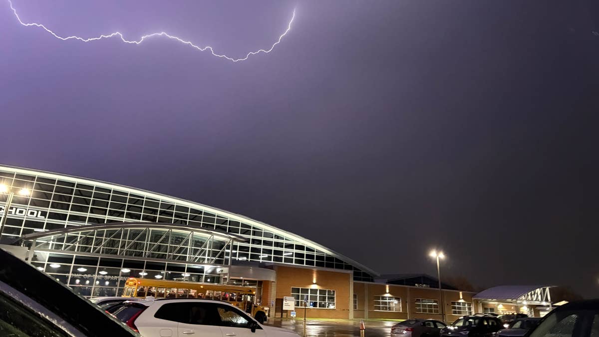
Get ready for a wild weather night across the central U.S. The National Weather Service has issued warnings for five states — Illinois, Kansas, Minnesota, Nebraska, and Wisconsin — as a powerful thunderstorm system rolls in, bringing the threat of large hail and strong wind gusts.
Forecasters say the action kicks off late this afternoon and evening, starting from the central Plains and spreading into the mid-Missouri and mid-Mississippi Valleys. The upper Mississippi Valley is also in the crosshairs for potentially severe winds and hail. This isn't your average summer storm — we're talking about conditions that could cause real damage.

According to the National Weather Service, “Steeper mid-level lapse rates are also emerging out of the central High Plains, spreading gradually eastward over these moist low-levels throughout the day. As a result, a corridor of strong to very strong buoyancy is anticipated from south-central NE/north-central KS along the IA/MO border into far west-central IL by the late afternoon.” In plain English, that means the atmosphere is primed for explosive storm development.
The storm setup involves a cold front sliding southeastward across South Dakota and Nebraska, while an outflow boundary retreats northward. Forecasters expect thunderstorms to ignite along both boundaries, starting over north-central Kansas and south-central Nebraska near where the surface low, outflow boundary, and cold front converge. This is a recipe for severe weather, so residents in these areas should stay alert.
If you're in the affected zones, now is the time to review your severe weather plan. The National Weather Service offers these life-saving tips:
- Keep a NOAA Weather Radio or local news handy to stay updated on watches and warnings.
- When a severe thunderstorm warning is issued, head to your safe spot immediately. Damaging wind or large hail could be approaching. Bring your pets if you have time.
- Stay away from windows. Avoid large open rooms like cafeterias, gyms, or auditoriums.
- Get inside a sturdy building right away if storms are near. Sheds and storage units won't cut it — and never take shelter under a tree, which can fall on you or attract lightning.
- If you're in a vehicle, you're safer than being outside, but drive to the nearest secure shelter if you can.
This isn't the first time the region has faced such threats. Recently, gusts up to 80 mph were reported in a severe storm warning hitting three Midwest states, and damaging winds and hail slammed four states as severe thunderstorms targeted Friday night. The pattern shows how active this spring has been.
Stay safe out there, everyone. Keep an eye on the sky and be ready to act if warnings are issued for your area.