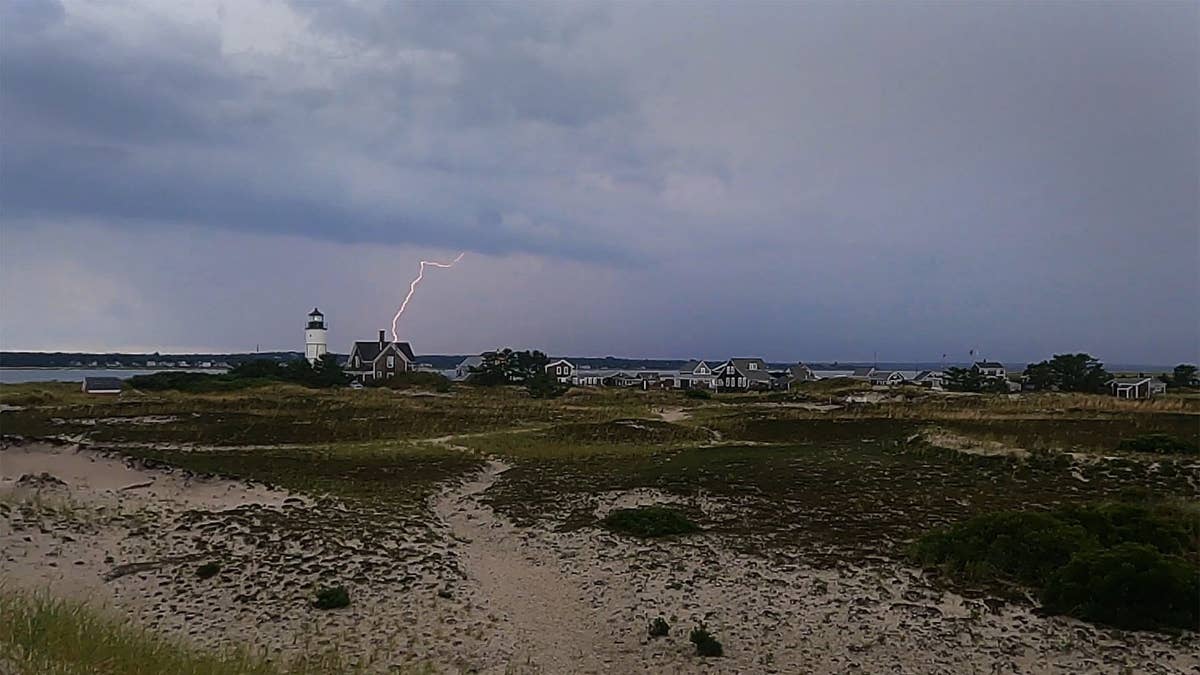
The National Weather Service has sounded the alarm for a powerful thunderstorm system that's set to barrel through four U.S. states this Friday evening. Arizona, New Mexico, Oklahoma, and Texas are all in the crosshairs, with forecasters warning of damaging wind gusts and the potential for large hail.
The advisory, issued on May 29, highlights a volatile weather setup. According to the NWS, a southwesterly flow aloft is pushing over Arizona and New Mexico, while large-scale height falls and weak ascent are spreading across western Texas and Oklahoma. This combination is creating a deeply mixed boundary layer that's ripe for severe storms.

What's Driving the Storms
The low-level southeasterly flow in the region is maintaining a moist and moderately unstable air mass. Breaks in the clouds are allowing pockets of CAPE—convective available potential energy—to exceed 2,000 J/kg, which is a key ingredient for strong thunderstorms. By late afternoon, clusters of storms are expected to develop from the Davis Mountains northward into the Texas Panhandle.
Forecast soundings in that area point to a deeply mixed boundary layer, signaling a high risk for damaging winds and large hail. These storms are then predicted to congeal and push eastward into western Oklahoma during the evening, where they'll encounter even greater low-level moisture and CAPE profiles. The NWS warns that the risk of hail may increase as this happens.
Storms Follow a Busy Weather Week
This Friday's threat comes on the heels of thunderstorms that threatened nine states on Thursday, including Texas and Virginia. It also follows a tornado threat that loomed over five states earlier this week. Residents in the affected areas should stay alert and prepared.
Safety Tips for Severe Weather
Whether you're at home, work, or on the road, the NWS has clear guidance for staying safe when these storms hit:
- Stay Weather Ready: Keep a NOAA Weather Radio or local news handy to monitor severe thunderstorm watches and warnings.
- At Home: Move to a secure location—like a basement or interior room—if a warning is issued. Bring pets if time allows.
- At Work or School: Avoid windows and steer clear of large open spaces such as cafeterias, gyms, or auditoriums.
- Outdoors: Get inside a sturdy building immediately. Sheds and storage facilities are not safe. Never take shelter under a tree—it could fall on you or attract lightning.
- In a Vehicle: A car is safer than being outside, but if you can, drive to the nearest secure shelter.
For the latest updates, follow the NWS Storm Prediction Center on social media or check your local NWS office's website. The agency's official account posted a reminder about scattered strong to severe storms capable of sporadic large hail and severe winds across portions of western Texas this afternoon and evening.
This system is a stark reminder that severe weather can strike quickly, especially as the Memorial Day weekend kicks off. Earlier this week, three states faced life-threatening beach conditions, and now the focus shifts inland. Stay safe, and don't let your guard down.