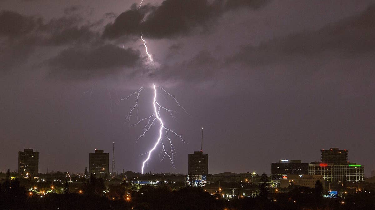
Get ready for a wild weather night across the central US. The Severe Weather Outlook warns that five states could face gigantic hail, intense lightning, and even tornadoes as a major thunderstorm rolls in Monday evening.
The storm is expected to bring supercells capable of producing very large to giant hail and multiple strong to intense tornadoes. The main threat zone stretches from central Kansas and southeast Nebraska into Iowa and northwest Missouri.

If you're in Iowa, central or eastern Kansas, northwest Missouri, southeast Nebraska, or northern Oklahoma, you need to be on high alert. This is not just a passing shower—this is a dangerous weather event that demands your attention.
The National Weather Service urges everyone in these areas to review severe weather safety procedures and stay tuned to NOAA Weather Radio, weather.gov, or local media for watches and warnings. A tornado watch means conditions are favorable for tornadoes to form over the next several hours. If a tornado warning is issued for your area, move to a place of safety immediately—ideally a basement or interior room on the lowest floor of a sturdy building.
This storm system follows a pattern of severe weather that has already impacted the region. Just days ago, a similar threat of giant hail and 75 mph winds hit the same area. And earlier this week, four states faced a 15% tornado threat. The repeated warnings highlight the volatile spring weather pattern.
Here's a quick reminder of what to do when severe storms strike:
- Stay Weather Ready: Keep listening to local news or a NOAA Weather Radio for updates on severe thunderstorm watches and warnings.
- At Your House: Go to your secure location if you hear a severe thunderstorm warning. Damaging wind or large hail may be approaching. Take your pets with you if time allows.
- At Your Workplace or School: Stay away from windows. Do not go to large open rooms such as cafeterias, gymnasiums, or auditoriums.
- Outside: Go inside a sturdy building immediately. Sheds and storage facilities are not safe. Taking shelter under a tree can be deadly—the tree may fall on you, and you're at greater risk of lightning strikes.
- In a Vehicle: Being in a vehicle during severe thunderstorms is safer than being outside, but drive to the closest secure shelter if there is enough time.
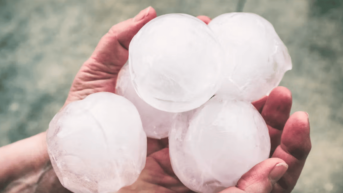
This is a serious situation. The threat of baseball-sized hail alone can cause significant damage to cars, roofs, and crops. Combined with the risk of tornadoes, it's crucial to take every precaution.
Stay safe, and keep an eye on the sky tonight. We'll continue to monitor the situation and bring you updates as they develop.