Memorial Day weekend is almost here, but Mother Nature isn't waiting for the holiday to bring the noise. A powerful storm system is barreling toward six U.S. states tonight, threatening to unleash scattered wind gusts of up to 70 mph and isolated hail across a broad swath of the country.
The National Weather Service has issued severe thunderstorm advisories for Maryland, Massachusetts, Pennsylvania, Texas, Virginia, and West Virginia, with the watch extending into the District of Columbia. Conditions will vary from state to state, but the common denominator is a volatile atmosphere primed for trouble.

What's Driving the Storms
Meteorologists point to a broad upper ridge sitting over the southeastern U.S. today, with stronger westerlies pushing from the Ohio Valley into the Mid-Atlantic region. Satellite imagery reveals a corridor of relatively clear skies stretching from Kentucky and West Virginia into southeast Pennsylvania, New Jersey, and southern New England. That clear zone is key—it allows for intense heating, which fuels the instability needed for severe storms.
“Strong heating in this corridor will lead to moderate CAPE by mid-afternoon,” the National Weather Service stated. “Scattered thunderstorm development is expected, with steep low-level lapse rates and sufficient westerly flow above the boundary-layer supporting a risk of damaging wind gusts and some hail in the strongest cores/clusters.”
CAPE, or Convective Available Potential Energy, is a measure of how much energy is available for storms to tap into. When it's moderate and combined with steep temperature drops at low levels, you get the perfect recipe for gusty winds and hail.
Timing and Threats
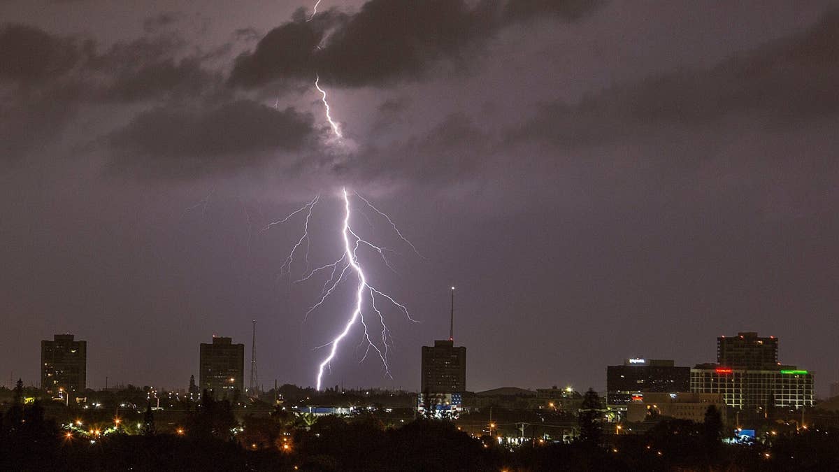
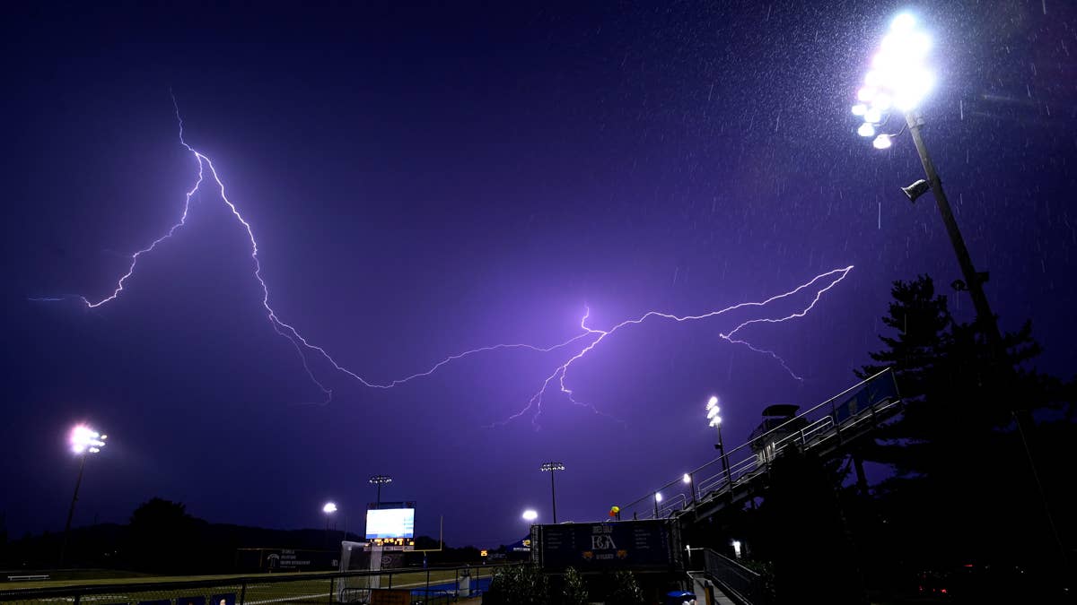
The storm advisory remains in effect until 8 p.m. ET tonight. Residents across the affected areas should brace for sudden downpours, frequent lightning, and the possibility of tree damage or power outages from those 70 mph wind gusts. Isolated hail—potentially up to the size of quarters or even baseballs—could also make an unwelcome appearance.
This isn't the only rough weather on the radar. Earlier this week, baseball-sized hail threatened five states in a separate outbreak, and flash flood warnings were issued for two states as storms rolled through. The pattern has been active, and tonight's event is just the latest chapter.
Stay Safe Out There
For those in the storm's path, the advice is simple: stay weather-aware. Have a way to receive warnings, and if you hear thunder, get indoors immediately. Avoid open fields and tall objects, and secure any loose outdoor furniture or decorations that could become projectiles in high winds.
With Memorial Day weekend kicking off, many people will be traveling or hosting gatherings. But don't let the holiday vibe lull you into complacency—this storm means business. Check local forecasts frequently, and have a backup plan if you're heading to the beach, a cookout, or a campsite.
As the evening wears on, the storms should weaken after sunset, but not before leaving their mark. The National Weather Service will continue to monitor the situation and update advisories as needed. For now, the message is clear: tonight is not the night to ignore the sky.