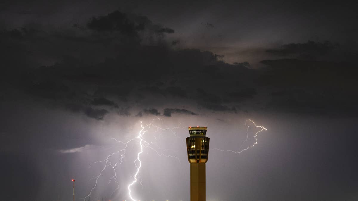
Saturday is shaping up to be a wild weather day across the central Plains, as a potent storm system threatens to unleash very large hail and 75 mph winds on five states. The National Weather Service has issued alerts for Colorado, Iowa, Kansas, Missouri, and Nebraska, with the worst impacts expected in Nebraska and Kansas.
The storm is set to fire up in the afternoon and evening, bringing a dangerous mix of large hail, damaging winds, and even the possibility of a few tornadoes. The NWS warned that dry and windy conditions could also spark hazardous fire activity across the Southwest into the southern High Plains, adding another layer of risk.

What to Expect
Meteorologists are tracking a large-scale upper trough that will amplify over the western U.S. today, driving strong westerly winds aloft. A surface low will reform over the central High Plains of eastern Colorado by late afternoon, pulling in moisture and setting the stage for explosive storm development. A dryline stretching from Nebraska and Iowa into the southern Great Lakes will act as a focal point for the worst weather.
Residents in the affected areas should prepare for hail that could be larger than golf balls and winds strong enough to down trees and power lines. This comes on the heels of other recent severe weather events, including a Thursday hailstorm that put six states on alert and destructive winds that threatened travel and power across nine states.
Safety First
The National Weather Service has provided clear guidance for staying safe during this severe weather outbreak. Here are their key recommendations:
- Stay Weather Ready: Keep a NOAA Weather Radio or local news handy to monitor severe thunderstorm watches and warnings.
- At Home: If a severe thunderstorm warning is issued, move to a secure location immediately. Take pets with you if time allows.
- At Work or School: Avoid windows and steer clear of large, open rooms like cafeterias, gyms, or auditoriums.
- Outside: Seek shelter in a sturdy building right away. Sheds, storage facilities, and trees are not safe—trees can fall or attract lightning.
- In a Vehicle: Being in a car is safer than being outdoors, but if you have enough time, drive to the nearest sturdy shelter.
This storm is part of a broader pattern of active weather across the Plains. Earlier this week, four states braced for extreme thunderstorms with hail, wind, and lightning, and similar threats have been seen in other regions. The current system, however, stands out for its combination of very large hail and high winds, making it a serious concern for anyone in its path.
As always, the key is to stay informed and take action quickly when warnings are issued. Saturday’s storm is no joke—so make a plan, check on your neighbors, and stay safe.