Get ready for a powder alert of epic proportions! The Sierra Nevada mountains are about to get absolutely buried under a colossal winter storm, with forecasters predicting a staggering 30-plus inches of snow for parts of California and Nevada this week. This isn't just a flurry—it's a full-on snow bomb set to transform the landscape and deliver dream conditions for winter sports enthusiasts.
The action kicks off Tuesday and continues through Thursday, with meteorologists describing the system as a potent one-two punch. The first wave will arrive with heavier, denser snow and strong winds. Then, a colder follow-up surge on Wednesday night will drop snow levels significantly, setting the stage for premium, fluffy powder by Thursday morning. According to powder forecasters, "Thursday should offer the better mix of fresh snow and ski quality across the range."

Some of the nation's most iconic ski destinations are directly in the bullseye. Resorts like Kirkwood, Palisades Tahoe, Sugar Bowl, and Mammoth Mountain are poised to be hit the hardest, potentially seeing snowfall totals measured in feet rather than inches. This storm is a welcome deluge for ski areas and a stark reminder that winter is far from finished in the high country.
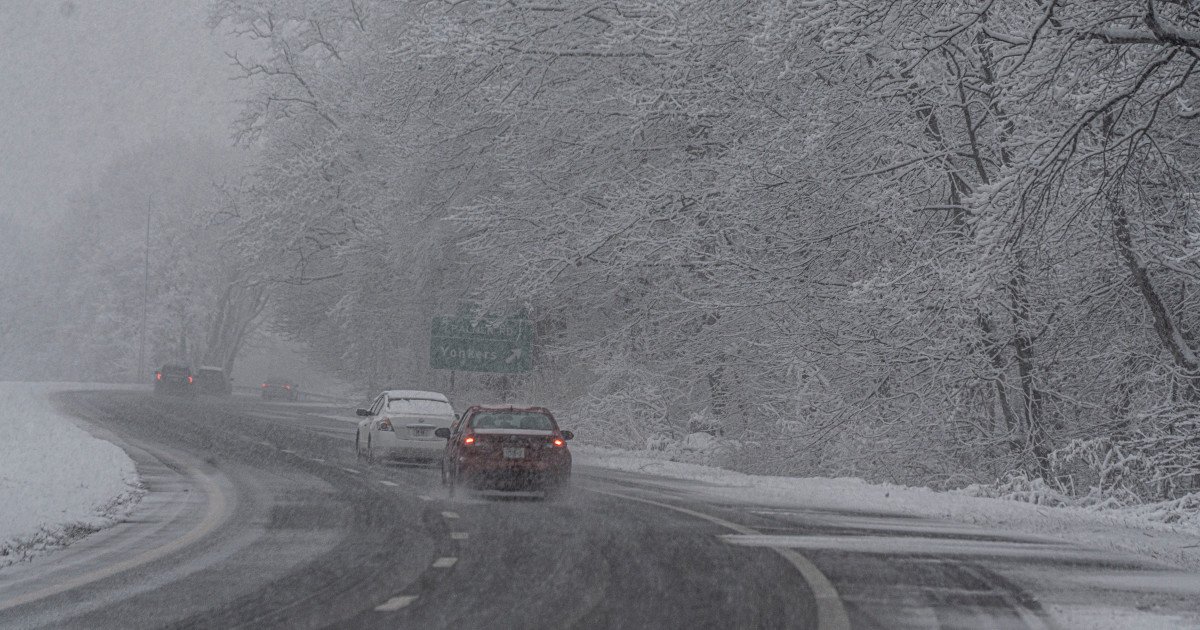
While this storm is a boon for skiers and snowboarders, it presents serious challenges for travel and safety. Residents and visitors in the affected regions are urged to prepare for significant disruptions. This kind of extreme weather event echoes other major disruptions we've seen recently, like the late-season snow blitz that targeted six states, proving that Mother Nature always has a few surprises left in the playbook.
With such intense snowfall on the way, safety is paramount. If you're in the path of this storm, the best advice is simple: stay home unless travel is absolutely necessary. Even the most experienced drivers should avoid taking unnecessary risks on snow-clogged mountain passes and icy roads.
For those who must venture out, extreme caution is required. Remember to drive slowly, allowing plenty of extra time for every journey. Accelerate and decelerate gradually to maintain traction, and dramatically increase your following distance to at least five or six seconds. Knowing how your vehicle's brakes respond on ice is critical—apply steady, firm pressure rather than slamming them.
Here are some additional key tips for navigating the deep freeze:
- Maintain Momentum: Avoid coming to a complete stop if you can safely roll through an intersection. It's much harder to get moving again from a standstill on an incline.
- Conquer Hills Smartly: Don't gun it going uphill. Build a little speed on flat ground first and let that carry you up. As you reach the crest, reduce speed immediately for a controlled descent.
- Never Stop on an Incline: If possible, avoid stopping while going up a hill. If you do, getting started again on ice can be nearly impossible.
This major Sierra snow event is part of a broader pattern of impactful weather affecting sports and travel nationwide. Just as Northeastern states recently braced for their own disruptive snowstorm, the West Coast is now facing its own wintry showdown. These systems remind us how quickly conditions can change, turning a normal week into a weather-dominated event.
For ski resorts and winter sports businesses, this storm is liquid gold—or rather, frozen gold. It promises to extend the season, refresh slopes, and deliver the kind of legendary conditions that powder hounds live for. But for everyone else, it's a signal to batten down the hatches, check the forecasts, and prioritize safety above all else. Stay warm, stay prepared, and for those hitting the slopes later this week—enjoy the epic ride!