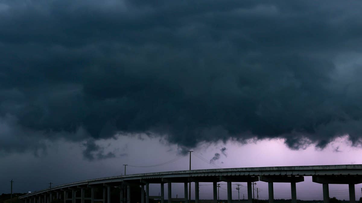
Saturday night is shaping up to be a wild one across the Northeast. The National Weather Service has issued a severe thunderstorm watch for parts of Connecticut, Massachusetts, New Jersey, New York, and Pennsylvania, with the potential for damaging wind gusts up to 70 mph, isolated hail, and frequent lightning. The watch remains in effect until 8 p.m. ET, and forecasters are urging residents to stay alert as storms roll through the region.
According to the NWS, the storms are expected to intensify through the afternoon and push eastward, bringing a risk of severe weather to a wide swath of the East Coast. The watch area stretches roughly 60 miles north and south of a line from about 35 miles west-northwest of Monticello, New York, to 15 miles east of Windsor Locks, Connecticut. That means millions of people could see strong winds and heavy downpours in the coming hours.

“Thunderstorms are expected to increase in coverage through the afternoon, with activity spreading eastward across the watch area. Sufficiently strong winds aloft and instability will pose a risk of severe storms capable of damaging wind gusts,” the National Weather Service said in its advisory.
What to Expect
While the primary threat is damaging winds, the NWS also warns of isolated large hail and frequent cloud-to-ground lightning. These storms could knock down trees and power lines, leading to scattered outages. If you live in the affected areas, it’s a good idea to secure loose outdoor items and stay indoors when the worst of the weather arrives.
This comes just a day after a similar storm threat loomed over seven states, and it’s part of an active weather pattern that has kept forecasters busy. Earlier this week, the Southwest faced 80 mph winds, and the Midwest saw tornado risks in Missouri and Illinois.
Safety First
The National Weather Service has shared several safety tips for anyone in the path of these storms. First, keep an eye on local news or a NOAA Weather Radio for the latest watches and warnings. If a severe thunderstorm warning is issued for your area, move to a sturdy building immediately. Stay away from windows, as high winds and hail can shatter glass.
If you’re caught outside, don’t take shelter under a tree — it could fall on you or attract lightning. A vehicle is safer than being outdoors, but only if you can quickly drive to a secure location. And remember, if you have pets, bring them inside if time allows.
For those in the watch area, staying weather-aware is key. The storms are expected to move through quickly, but the damage they can cause is no joke. With winds that can rival a weak hurricane, it’s better to be safe than sorry.
Stay tuned to updates from the National Weather Service, and check back with us for more on this developing story. If you’re in the Northeast, keep your phone charged and your plans flexible tonight.