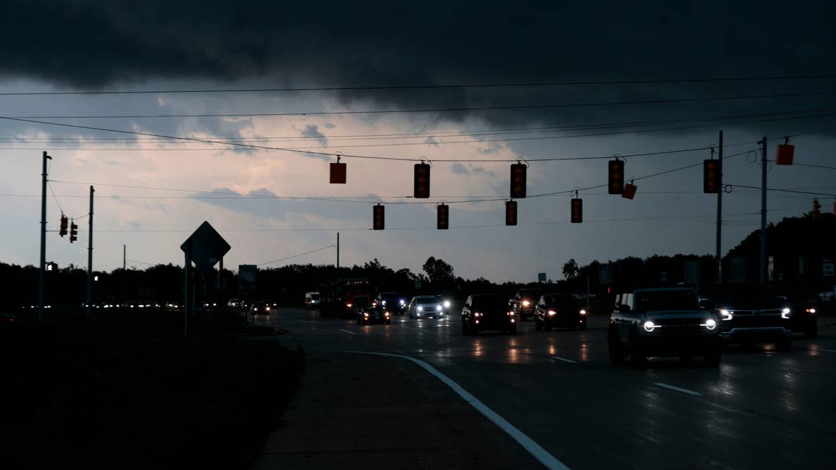
The National Weather Service has issued a high alert for Arizona and New Mexico as scattered thunderstorms with damaging winds are expected to roar through the region tonight. Forecasters are warning of wind gusts up to 80 mph, along with isolated hail and frequent lightning, making for a potentially dangerous evening across the Southwest.
According to the latest satellite and radar imagery, convective development is already underway over the higher terrain of southeastern Arizona and southwestern New Mexico. The storms are being driven by enhanced surface convergence near a thermally induced low-pressure system, and forecasters expect thunderstorm coverage to increase over the next several hours.

"The air mass downstream is expected to continue to destabilize, with surface temperatures near or exceeding 100 degrees Fahrenheit amid mid-to-upper 50s dewpoints supporting MLCAPE of 1000-1500 J/kg," the National Weather Service said in a statement. This instability is the fuel for the severe weather, with the potential for strong downdrafts and dry microbursts that could produce wind gusts of 60 to 80 mph with the most robust clusters.
The initial updrafts could also produce isolated hail, with stones ranging from 1 to 1.25 inches in diameter. The steep lapse rates ahead of the activity will favor plentiful evaporative cooling, further enhancing the downdraft potential. As the evening progresses, clusters of storms are expected to move westward out of the higher terrain, potentially reaching the lower deserts.
The NWS is considering issuing a severe thunderstorm watch for parts of southeastern Arizona and southwestern New Mexico as the threat increases. Residents are urged to stay weather-ready by monitoring local news or a NOAA Weather Radio for updates.
Safety Tips from the NWS
The National Weather Service has provided safety guidelines for those in the affected areas:
- At Home: If a severe thunderstorm warning is issued, go to a secure location immediately. Damaging winds or large hail may be approaching. Take your pets with you if time allows.
- At Work or School: Stay away from windows and avoid large open rooms like cafeterias, gymnasiums, or auditoriums.
- Outside: Seek shelter in a sturdy building immediately. Sheds and storage facilities are not safe. Never take shelter under a tree, as it could fall on you and increase your risk of lightning strikes.
- In a Vehicle: If you are driving, pull over safely and stay inside the vehicle until the storm passes.
This storm system comes on the heels of other severe weather events across the country, including tornado warnings in four states and 100 mph winds in South Dakota. The Southwest is no stranger to monsoon season, but tonight's potential for extreme gusts and hail is a reminder of the power of these systems.
Forecasters are urging everyone in the warned areas to take precautions and stay informed. The storms are expected to continue through the evening, with the greatest risk of severe weather in the southeastern portions of both states. Stay safe and stay tuned to local weather updates.