A powerful storm system is taking aim at the American Midwest, and it's putting more than just picnics in jeopardy. The states of Wisconsin and Michigan are now under an official Flood Watch as meteorologists predict a deluge of excessive rainfall beginning Monday, April 13th. For sports fans and organizers, this means game-day plans could be washed away as rising rivers and flash floods become a serious threat.
Soaking the Heartland
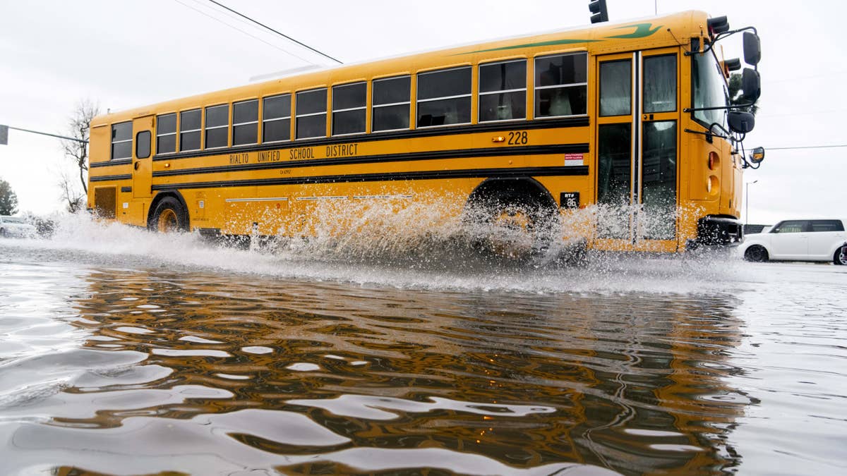
The National Weather Service has issued the alert, warning that intense thunderstorms could dump between one and three inches of rain across the region. This isn't just a passing shower; the sustained downpour is expected to create "excessive runoff," leading to rapidly rising water levels in rivers, creeks, and streams. Low-lying areas and roadways are particularly at risk, with the potential for dangerous flooding at common low-water crossings. Officials are urging residents to stay vigilant, monitor forecasts closely, and be ready to act if Flood Warnings are upgraded.

Game Day Plans in Peril
For the sports world, this kind of severe weather is a major disruptor. Outdoor practices, community games, and even scheduled professional or collegiate events could face postponements or cancellations. This situation echoes recent weather challenges that have plagued the sports calendar. Just last week, a similar severe thunderstorm threat put Monday sports in jeopardy across 13 states, creating logistical nightmares for leagues and disappointment for fans. The current flood watch adds a new, waterlogged layer of complexity.
The warning explicitly states, "Those living in areas prone to flooding should be prepared to take action should flooding develop." This directive extends to athletes, coaches, and spectators planning to travel to or participate in outdoor activities. Safety must come first, and being "weather ready" is now part of the game plan.
Staying Safe When Storms Strike
When severe weather barrels through, knowing where to go and what to do is crucial. Here’s a quick safety rundown for anyone caught in the path of these storms:
- Stay Informed: Keep a battery-powered NOAA Weather Radio handy or follow trusted local news sources for the latest watches and warnings. Don't rely solely on cell service, which can fail during storms.
- At Home: If a severe thunderstorm warning is issued, move immediately to a secure, windowless interior room on the lowest floor. Bring your pets with you.
- At Work or School: Avoid windows, gymnasiums, cafeterias, and other large, open rooms with wide roofs that could be vulnerable.
- Outdoors: Get inside a sturdy building immediately. Never shelter under a tree—it's a magnet for lightning and could fall. Temporary structures like sheds offer no real protection.
- In a Vehicle: While a car is safer than being outside, it is not safe during a severe storm with potential tornadoes or extreme winds. If you have time, drive to the closest substantial shelter.
This flood threat is a stark reminder that nature doesn't check the sports schedule. It follows a pattern of disruptive spring weather, much like the flood alert that targeted Sunday sports in five states recently. Communities are learning to adapt as intense rainfall events become more frequent.
Looking Ahead
The potential for stormy conditions extends into Monday night and again on Tuesday night, meaning the disruption window could last more than 24 hours. For teams, leagues, and venues in Wisconsin and Michigan, contingency planning is now in full effect. The key message from authorities is clear: monitor, prepare, and don't take chances with floodwaters. As the skies open up, the hope is that everyone in the path of this system prioritizes safety, ensuring that the only thing washed out this week is the occasional game—not anyone's security.