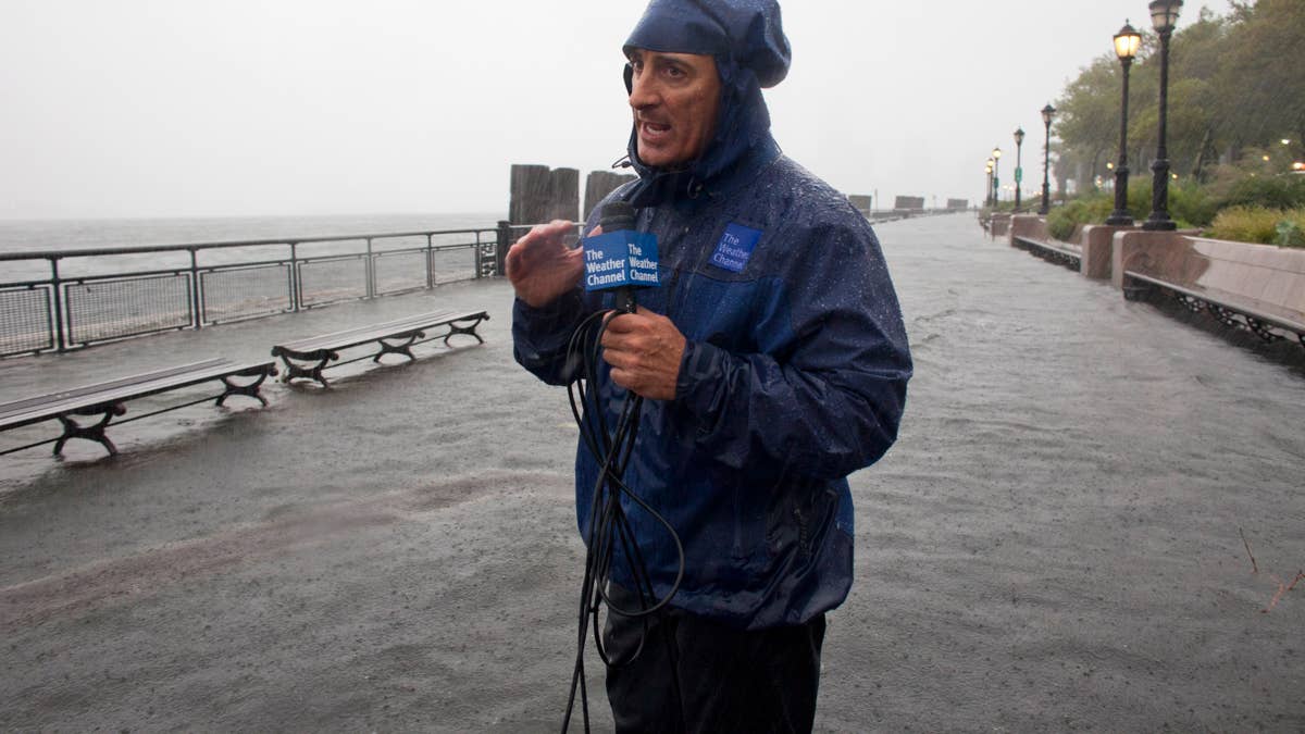
The Weather Channel's legendary storm tracker, Jim Cantore, is ringing the bell on a dangerous weather setup that could bring tornadoes, damaging winds, and hail to a broad swath of the United States from Sunday through Tuesday.
In a stark social media post, Cantore declared, "Higher end SEVERE weather days are upon us." He pointed to the latest Storm Prediction Center outlook, which shows a significant threat for tornadoes across up to 11 states on Sunday and Monday. "ALL hazards in play both days," he emphasized, signaling that this isn't just a garden-variety thunderstorm event.

The timing couldn't be more critical. With the peak of severe weather season often arriving in spring, this multi-day outbreak has forecasters on high alert. Cantore's warning echoes similar urgent alerts issued recently, such as the 75 mph wind threat targeting Texas and the hailstorm threat for six states.
While Cantore's reputation as a weather authority is well-known—he's been on the ground for countless hurricanes and tornado outbreaks—this warning carries extra weight because of the expansive area at risk and the potential for multiple severe hazards simultaneously.
What to Expect
Meteorologists are tracking a powerful storm system that will tap into warm, moist air from the Gulf of Mexico, colliding with a strong jet stream. That combination is a recipe for explosive thunderstorm development. The primary threats include:
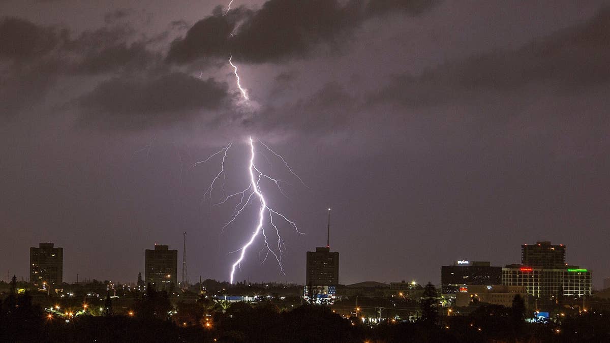
- Tornadoes: Some could be strong, especially in the highest-risk areas.
- Damaging winds: Straight-line winds may exceed 75 mph in some storms.
- Large hail: Hailstones up to the size of baseballs are possible.
- Flash flooding: Repeated rounds of storms could lead to dangerous flooding.
This isn't just a one-day event. The severe weather threat will persist for three days, making it crucial for residents in the affected regions to stay vigilant. The National Weather Service recommends having multiple ways to receive warnings, including wireless emergency alerts and a NOAA Weather Radio.
Safety Steps You Need to Know
With the potential for tornadoes, knowing what to do ahead of time can save lives. Here's a quick refresher on tornado safety, based on expert guidance:
At Home
If a tornado warning is issued for your area, head to the lowest level of your home—a basement, storm cellar, or an interior room on the ground floor away from windows. Bring your pets if time allows. Avoid rooms with ceilings that could collapse, like those with large open spans.
At Work or School
Follow your facility's tornado drill. Proceed calmly to the designated shelter area, typically an interior hallway or room. Stay away from windows, and steer clear of large open spaces such as gymnasiums, cafeterias, or auditoriums.
If You're Outside
Seek shelter in a sturdy building immediately. Sheds, storage facilities, mobile homes, and tents are not safe. If you can't get to a building, lie flat in a low-lying area like a ditch or ravine, covering your head.
In a Vehicle
Being in a car during a tornado is extremely dangerous. Your best bet is to drive to the nearest sturdy shelter. If that's not possible, get down in your vehicle and cover your head, or abandon the car and take cover in a low-lying area. Do not try to outrun a tornado in a vehicle.
This severe weather outbreak comes on the heels of other extreme events, including a dangerous heat wave targeting six states and a critical fire warning for Montana and North Dakota. The pattern shift is a stark reminder that spring can deliver a wide range of weather threats.
Stay tuned to local forecasts and heed all warnings. As Cantore's message makes clear, this is not a time to let your guard down. Preparation now can make all the difference when the storms arrive.