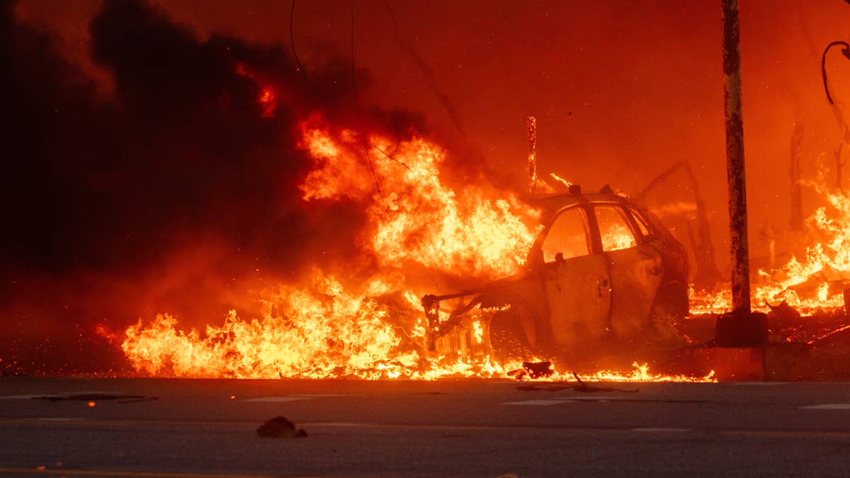
Mother Nature is throwing a dangerous curveball at the Northern Plains and Rockies this Wednesday. The National Weather Service has slapped a critical fire warning on Montana and North Dakota, as a volatile mix of dry air, gusty winds, and potential thunderstorms threatens to turn the landscape into a tinderbox.
The culprit? A deepening lee trough sweeping across southern Alberta into north-central Montana is expected to crank up southeasterly winds to 20-25 mph by the afternoon. Relative humidity levels, already low at 20-25%, are forecast to drop further into the 15-20% range. Combined with receptive fuels—think dry grass, brush, and forest debris—that's a recipe for rapid fire spread.

The National Oceanic and Atmospheric Administration (NOAA) detailed the threat: “The dry and breezy conditions atop receptive fuels will yield a critical fire weather threat for much of northeastern MT.” But it doesn't stop there. A mid-level shortwave and an associated jet streak will push moisture into western and central Montana, sparking high-based showers and thunderstorms across the northern Rockies. The catch? A dry sub-cloud layer means little to no rain will reach the ground, while strong to severe downburst winds could fan any flames that ignite.
“Latest forecast guidance suggests a prolonged convective event, lasting into the evening, affecting much of northeastern MT,” NOAA added. “Fuels remain more receptive across northern MT which could support some lightning ignitions as high-based thunderstorms move into the northern High Plains this evening.” That's why isolated dry thunderstorm highlights have been extended into northeastern Montana.
While Montana and North Dakota bear the brunt of the critical warning, elevated fire risks are also in play for Nebraska, South Dakota, and Wyoming. The entire region is on edge, especially after recent heat wave alerts that have left vegetation parched and primed for burning.
For sports fans in these states, the warning disrupts outdoor plans—from baseball games to hiking trips. But safety comes first. The NWS advises residents to avoid outdoor burning, keep vehicles off dry grass, and have an evacuation plan ready. In the event of a wildfire, stay low to avoid smoke inhalation, and head for areas already burned or clear of vegetation.
This isn't just a weather story; it's a stark reminder that extreme conditions can sideline even the most dedicated athletes and fans. As we monitor the situation, we're hoping everyone stays safe this week. For more on how weather is affecting the region, check out our coverage of Mother's Day storm threats that recently hit five southern states.
Stay tuned for updates, and if you're in the warning zone, take the advisory seriously. The fire danger is real, and a little caution goes a long way.