Sports fans and outdoor enthusiasts in three western states need to batten down the hatches. The National Weather Service has issued a serious high wind watch for Montana, Wyoming, and Utah, with forecasts predicting potentially dangerous gusts exceeding 65 miles per hour. This isn't just a breezy day—it's a significant weather event that could upend plans and create hazardous conditions.
What the High Wind Watch Means
The alert, active for Wednesday evening, signals the potential for a hazardous high wind event. The criteria for such a watch includes the possibility of sustained winds of at least 40 MPH or powerful gusts hitting 58 MPH or stronger. The current forecast suggests conditions could be even more intense, with winds potentially topping the 65 MPH mark. Residents and travelers are urged to treat this watch as a heads-up to prepare for rapidly deteriorating conditions.

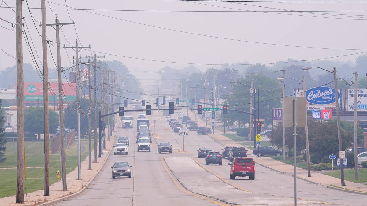
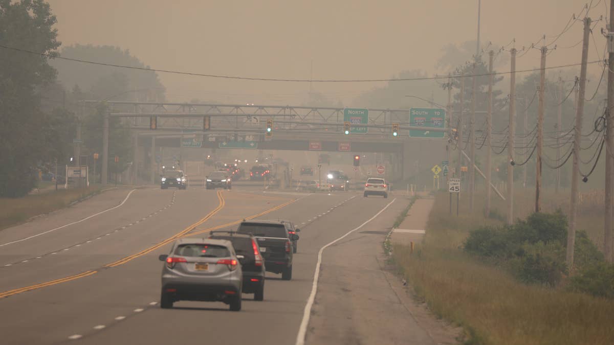
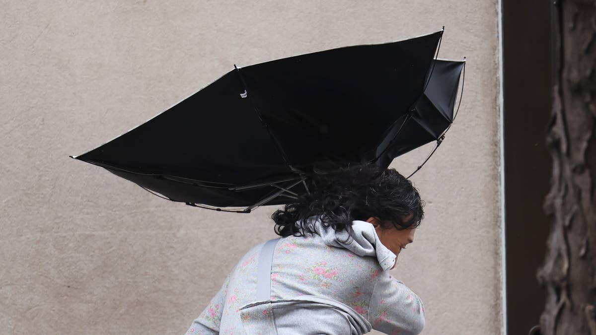
"High winds may move loose debris, damage property and cause power outages," the official warning states. "Travel could be difficult, especially for high profile vehicles and vehicles with trailers. RVs should use caution at campgrounds." This kind of weather doesn't just cancel picnics; it can turn unsecured items into dangerous projectiles and make simple commutes treacherous.
States in the Path of the Gusts
The three states under the watch cover a vast swath of iconic American landscape, from the mountains of Montana to the plains of Wyoming and the deserts of Utah. The widespread nature of the alert means numerous communities and major travel corridors could be affected. This kind of severe weather can create a ripple effect, potentially disrupting logistics for everything from local sports tournaments to cross-country road trips for away games.
This wind event is part of a larger pattern of turbulent spring weather across the nation. Just recently, Iowa faced golf ball-sized hail and 60 MPH winds in a separate storm system. Furthermore, a significant tornado threat is targeting 12 states, which could also disrupt evening sports schedules. It's a stark reminder that game plans must sometimes include weather plans.
How to Stay Safe When the Winds Hit
Authorities are emphasizing proactive safety measures. The key advice is straightforward but critical: secure anything that could blow away. Patio furniture, trash cans, sports equipment, and holiday decorations should all be brought indoors or tightly fastened down. For those with recreational vehicles or trailers, extra caution is paramount.
"Monitor the latest forecasts and warnings for updates," the alert advises. "Fasten loose objects or shelter objects in a safe location prior to the onset of winds." The best move is to stay indoors once the high winds arrive, avoiding unnecessary travel. For sports leagues and outdoor event organizers, this watch is a clear signal to review contingency plans and communicate early with participants.
This serves as another Game Day Alert in a season full of them. While the focus is on safety first, these conditions inevitably impact the sports world. Outdoor practices may be scrapped, and fans traveling to games in the region should allow extra time and expect difficult driving conditions, particularly on open highways and through mountain passes where crosswinds are most dangerous.
As the evening approaches, all eyes will be on the weather radar. Staying informed through official channels like the National Weather Service is the best defense. For everyone in Montana, Wyoming, and Utah—from casual hikers to professional athletes—tonight is a night to play it safe, stay inside, and let this powerful weather system blow through.