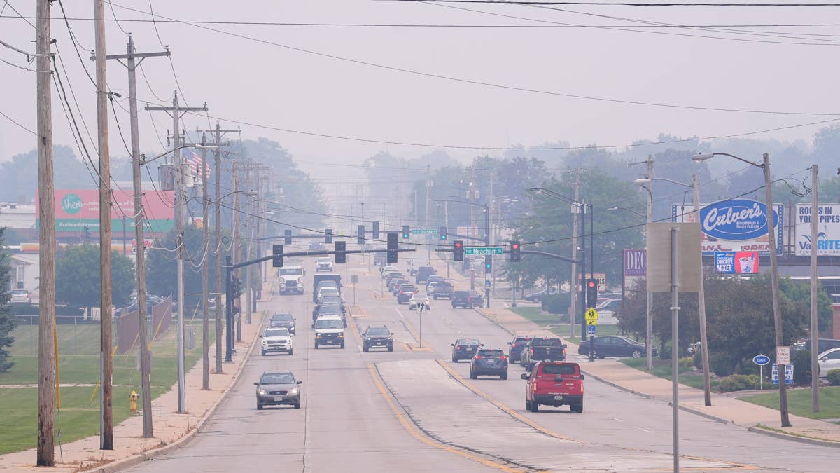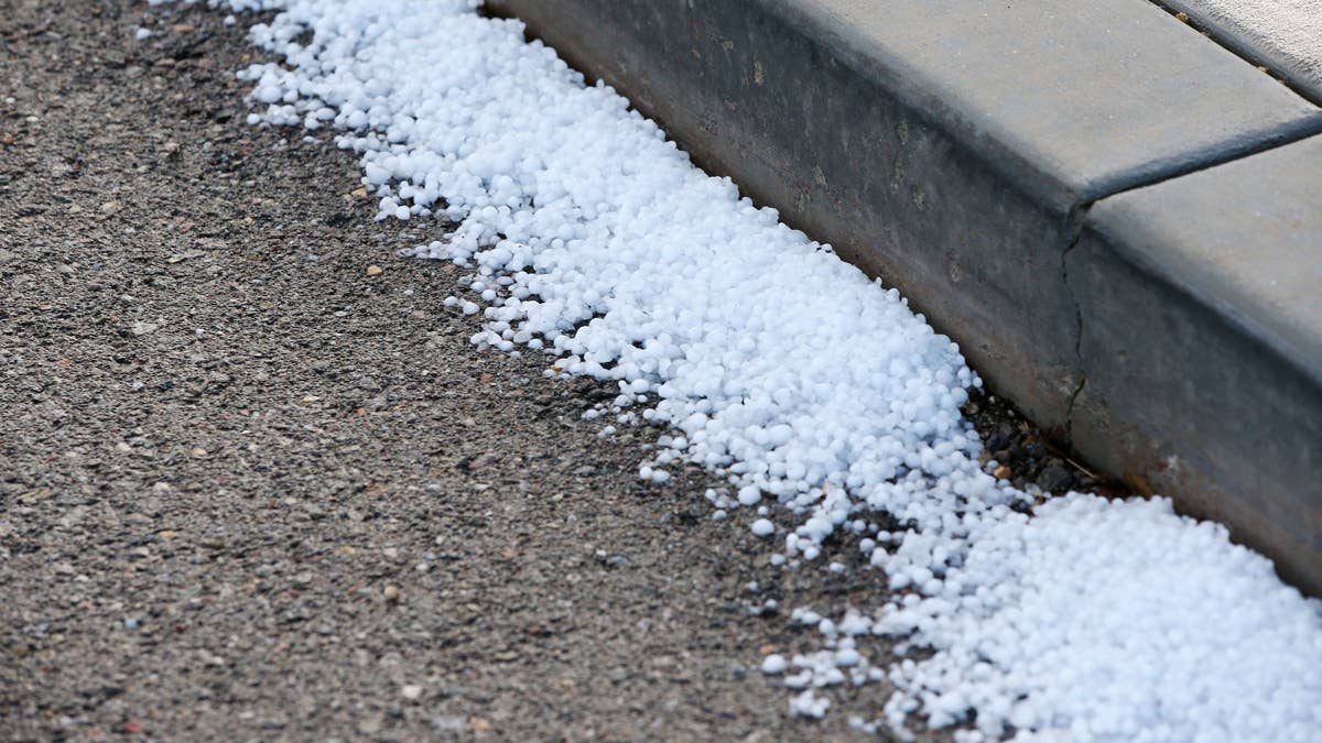
Mother Nature is throwing a dangerous curveball at the Midwest this Wednesday, with Iowa bracing for a severe weather onslaught. The National Weather Service has issued urgent thunderstorm warnings for the state, forecasting destructive conditions that include hail the size of golf balls and wind gusts reaching 60 miles per hour.
Storm Timeline and Primary Threats
The most concerning weather is expected to develop north of Interstate 80 through the early afternoon, with the primary danger being large, damaging hail. After 3 p.m., meteorologists anticipate more scattered storms to fire up across central Iowa. While the tornado risk remains low, the combination of massive hail stones and damaging straight-line winds poses a significant threat to property and safety. This kind of severe weather can quickly turn a normal day into a hazardous situation, reminding us that nature always bats last.

As reported by local station KCCI, "There’s a low risk of tornadoes, otherwise large hail and damaging wind gusts are the likely threats." This forecast echoes concerns seen in other recent weather events, like the 75 MPH winds that targeted the Heartland, showing a pattern of intense spring storms.
Affected Communities Under Advisory
Specific Iowa cities that have received the severe weather advisory from the National Weather Service include:
- Botna
- Carroll
- Defiance
- Denison
- Irwin
- Jefferson
Critical Safety Guidelines
When severe weather strikes, knowing how to react can make all the difference. The National Weather Service provides these essential safety recommendations:
At Home
Move immediately to your designated secure location if a severe thunderstorm warning is issued for your area. Damaging wind or large hail may be approaching rapidly. If time permits, bring your pets with you to your safe space.
At Work or School
Stay away from windows during a severe thunderstorm warning. Avoid large open rooms like cafeterias, gymnasiums, or auditoriums where structural integrity may be compromised by high winds.
Outdoors
Seek shelter inside a sturdy building immediately if severe thunderstorms approach. Remember that sheds, storage facilities, and tents do not provide adequate protection. Never shelter under a tree—this puts you at greater risk of lightning strikes, and falling trees or branches can cause fatal injuries.
In a Vehicle
While being in a vehicle is safer than being outside during severe thunderstorms, it's not ideal. If you have sufficient time, drive to the closest secure shelter. Otherwise, stay in your vehicle with your seatbelt fastened until the storm passes.
Broader Weather Context
This Iowa storm system is part of a larger pattern of volatile spring weather affecting the central United States. Just as tornado threats recently loomed over 18 states, these severe thunderstorms demonstrate how quickly conditions can change. Sports fans and outdoor enthusiasts should always have a weather plan, especially during peak storm seasons when games and events face potential postponement or cancellation.
The key to weathering these events is staying informed. Continue monitoring local news broadcasts or a NOAA Weather Radio for the latest updates on severe thunderstorm watches and warnings. Preparation and timely action are your best defenses against nature's most furious innings.
Stay safe, Iowa. Keep your eyes on the skies and your emergency plans ready as this severe weather system moves through the region.