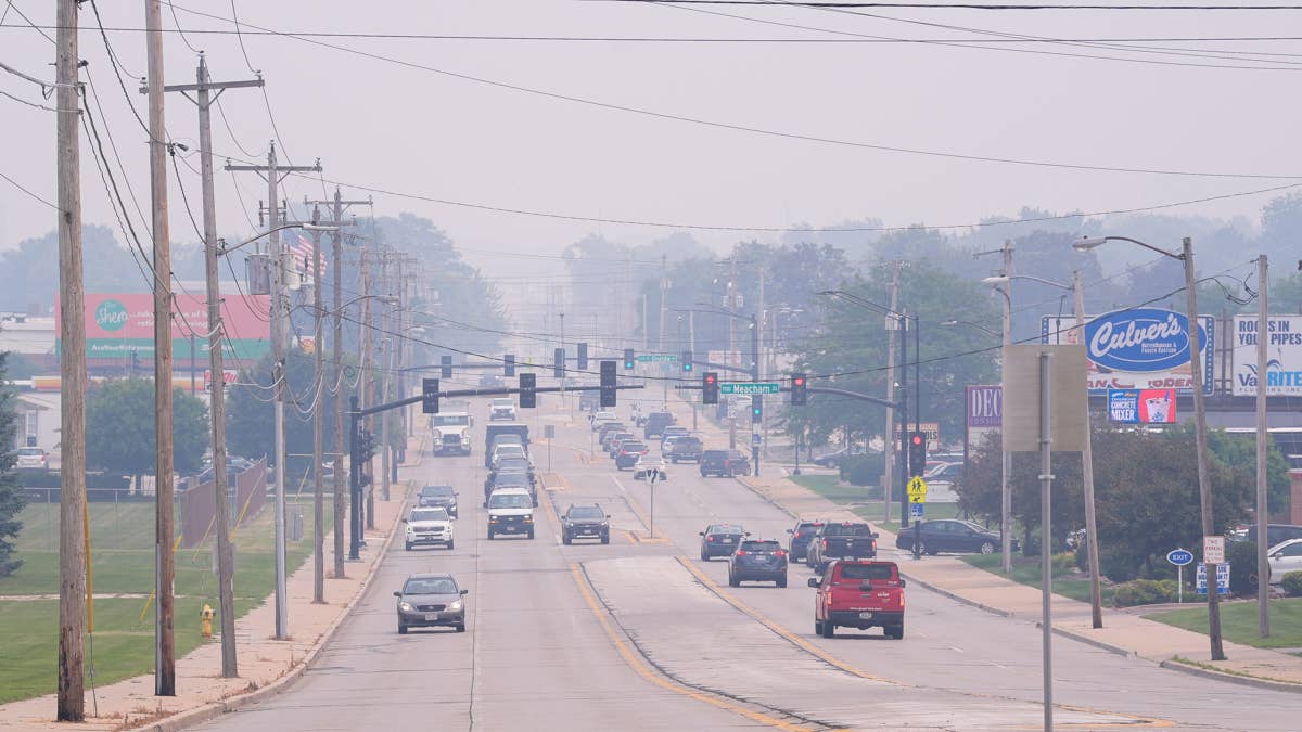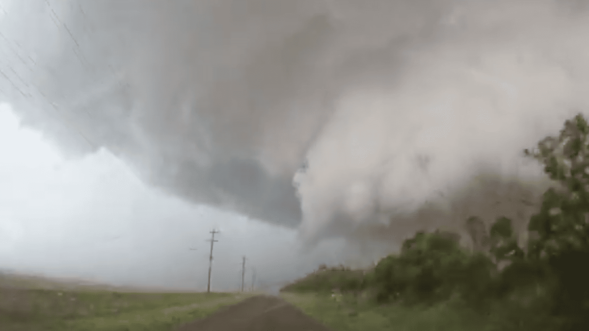
Sports fans across a massive swath of the country need to keep one eye on the sky tonight. The National Weather Service has issued a significant storm warning for twelve U.S. states, putting a large portion of the South and Midwest on alert for dangerous weather as Wednesday evening approaches.
The primary concern is a 5% chance of tornadoes developing within 25 miles of any given point in the affected regions. While that percentage may sound low, in meteorological terms, it signals a notable and serious threat that requires preparedness. This isn't just about rain delays; it's about safety for anyone traveling to or from games, or even watching from home in the path of these storms.

Which States Are in the Danger Zone?
The storm system is casting a wide net, threatening states from the Southern Plains straight through to the Northeast. The states under the gun tonight include:
- Texas
- Oklahoma
- Kansas
- Arkansas
- Missouri
- Iowa
- Illinois
- Indiana
- Michigan
- Ohio
- Pennsylvania
- New York
Residents and visitors in these areas should expect more than just the tornado risk. The system is also likely to pack powerful thunderstorms, intense lightning, and potentially damaging straight-line winds. This kind of severe weather has already proven disruptive this season, as seen when nine states faced a similar tornado threat, forcing last-minute changes for athletes and fans alike.
Game Day Plans? Have a Safety Plan First
For anyone with evening plans—whether it's a local softball game, a trip to the driving range, or simply commuting home from work—staying informed is crucial. Continuously monitor local news or a NOAA Weather Radio for the latest watches and warnings. Tornadoes can form rapidly, and conditions can deteriorate with little notice.
Knowing what to do when a warning is issued could be the most important play of the night. If you're at home, head to your basement, storm shelter, or an interior room on the lowest floor, away from windows. Don't forget your pets if you have time to grab them safely.
The situation becomes more complex if you're caught outside or at a sporting event. If you're at a stadium or arena, follow venue instructions immediately and proceed calmly to designated shelter areas. Avoid large, open spaces like gymnasiums, auditoriums, or concourses. As we've seen with recent severe thunderstorm onslaughts threatening Monday sports, these events don't wait for the final whistle.
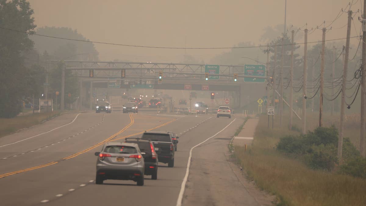
If you're traveling, remember that vehicles are extremely vulnerable. Your best move is to drive to the closest sturdy shelter. If you cannot reach one and must abandon your car, seek shelter in a low-lying area like a ditch or ravine, protecting your head from flying debris. Never seek shelter under a highway overpass.
This widespread alert serves as a stark reminder that spring storm season is in full force. The atmosphere over the heartland remains volatile, and these conditions can escalate quickly, similar to the dangerous Tuesday night storms that recently targeted the Heartland. While we all hope for clear skies and uninterrupted games, preparedness is the ultimate victory when severe weather is on the field.
Stay safe, stay alert, and know your game plan before the first warning siren sounds.