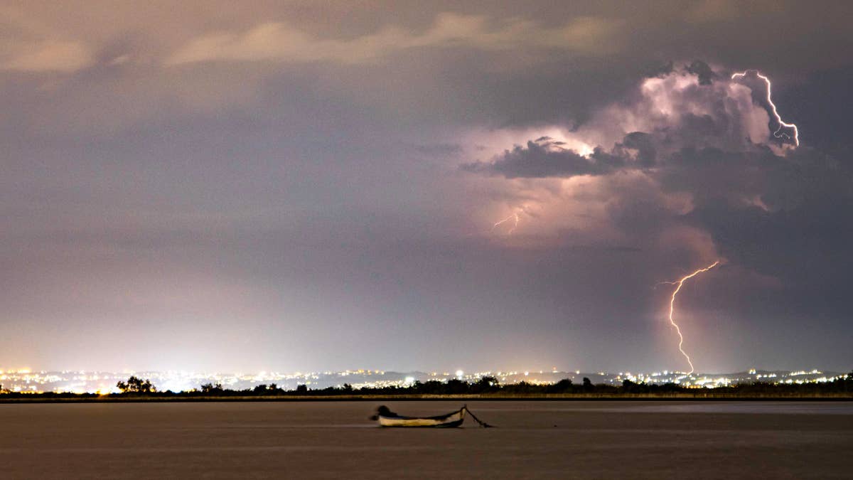
As millions of Americans fire up the grill and prepare for fireworks this Fourth of July weekend, Mother Nature has a different kind of blast in store for two states. The National Weather Service has issued a warning for eastern Nebraska and western Iowa, where a severe thunderstorm with 75 mph wind gusts is forecast to roll in on Friday. And yes, there's even a chance of a tornado or two.
Storm System Brewing Across the Plains
The storm is part of a larger weather pattern that's been churning across the Great Plains and Mid-Atlantic. According to the National Weather Service, several clusters of thunderstorms are already active, stretching from western Nebraska and northwest Kansas up through South Dakota and into Iowa and southern Minnesota. The way these clusters interact will determine exactly where the worst weather hits later this afternoon and evening.

“Currently the outflow from the southern MN/IA cluster arcs from east-central IA back southwestward through extreme southwest IA and far southeast NE before intersecting the outflow from the western NE/northwest KS cluster,” the NWS said in a detailed forecast. “Much of the guidance suggests airmass recovery occurs north of this outflow.” In plain English? The atmosphere is primed for some serious fireworks—just not the kind you’d want to watch from the backyard.
What’s at Stake: Hail, Winds, and Tornadoes
The main threats include damaging wind gusts of 75 mph or more, large hail, and the potential for a brief tornado. The NWS notes that moderate vertical shear could support an initial supercell thunderstorm mode, which often produces the most dangerous weather. As the evening progresses, these storms are expected to grow into bowing clusters that can generate widespread, severe wind damage.
“Potential will also increase for a few significant gusts of 75+ mph, particularly from eastern Nebraska into western Iowa,” the NWS added. For context, 75 mph winds are strong enough to down trees, knock out power, and cause structural damage to homes and buildings.
Safety First: How to Weather the Storm
If you’re in the affected area, now is the time to review your severe weather safety plan. The NWS recommends staying tuned to local news or a NOAA Weather Radio for the latest watches and warnings. If a tornado warning is issued, head to a basement, safe room, or an interior room away from windows immediately. Don’t forget your pets if time allows.
For those caught outside, seek shelter in a sturdy building right away. Sheds, storage facilities, mobile homes, and tents are not safe options. If you’re in a vehicle, the best move is to drive to the nearest shelter. If that’s not possible, either get down low in the car and cover your head, or abandon the vehicle and find a low-lying area like a ditch or ravine.
More Holiday Weather Headaches
This storm is just one of several weather challenges hitting the U.S. this holiday weekend. Meanwhile, a 105-degree heat wave is expected to scorch four regions, and officials have issued warnings about flesh-eating bacteria in three states ahead of beach plans. And for those heading to the coast, a shark warning has been issued after a recent attack in Texas.
As always, the goal is for everyone to have a safe and enjoyable Fourth of July weekend. But when the sky turns dark and the wind starts howling, remember: the best fireworks are the ones you watch from a safe, sturdy shelter.