
Mother Nature is throwing a curveball at the Sunshine State tonight. A tornado advisory issued by the National Weather Service has Florida on high alert, with 65 mph wind gusts expected to sweep through key cities including Jacksonville, Orlando, and Tampa.
This isn't just any storm system—it's packing a punch. The advisory, in effect for Saturday, May 2, warns that a couple of tornadoes could spin up across parts of Florida. But that's not all: a fire weather warning is also in effect for Osceola and Southern Brevard County through the evening, thanks to low humidity and gusty winds.
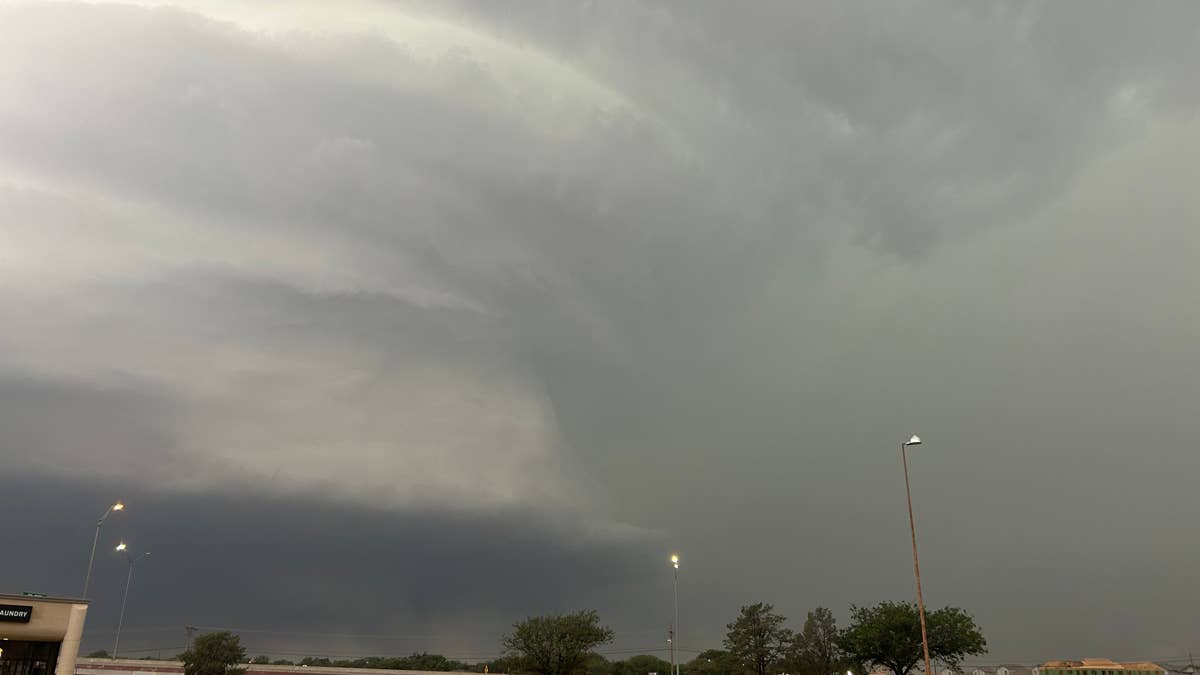
FOX 35 Orlando broke down the threat: “The main focus is the storminess, with a Marginal to Slight Risk or 1–2/5 Risk in place across the region. All forms of severe weather are possible.” They added that the primary concerns are gusty wind and small hail in the strongest storm cores, though the tornado threat remains low but not zero, particularly across North-Central Florida where atmospheric dynamics are stronger.
This comes on the heels of a weekend tornado threat targeting 4 Southern states, underscoring a volatile weather pattern gripping the region.
How to Stay Safe
The National Weather Service has released a set of safety tips for anyone in the path of these storms. Here’s what you need to know:
At Home
- Stay weather-ready by monitoring local news or a NOAA Weather Radio for updates on tornado watches and warnings.
- If a tornado warning is issued, head to your basement, safe room, or an interior room away from windows. Don’t forget your pets if time allows.
At Work or School
- Follow your tornado drill and calmly proceed to your designated shelter. Avoid windows and steer clear of large open spaces like cafeterias, gymnasiums, or auditoriums.
If You’re Outside
- Seek shelter inside a sturdy building immediately if a tornado is approaching. Sheds, storage facilities, mobile homes, and tents offer no protection.
In a Vehicle
- A car is not safe during a tornado. Drive to the closest shelter if possible. If you can’t make it, either get down in your car and cover your head, or abandon it for a low-lying area like a ditch or ravine.
This isn’t the first time this spring that severe weather has put communities on edge. A 5-state tornado watch earlier this week highlighted the broader pattern of storms across the South. And with 6 states on edge for extreme thunderstorms, Florida’s situation is part of a larger, restless weather system.
For now, all eyes are on the skies. We’re hoping everyone in the affected areas stays safe and takes these warnings seriously. Mother Nature might be unpredictable, but being prepared can make all the difference.