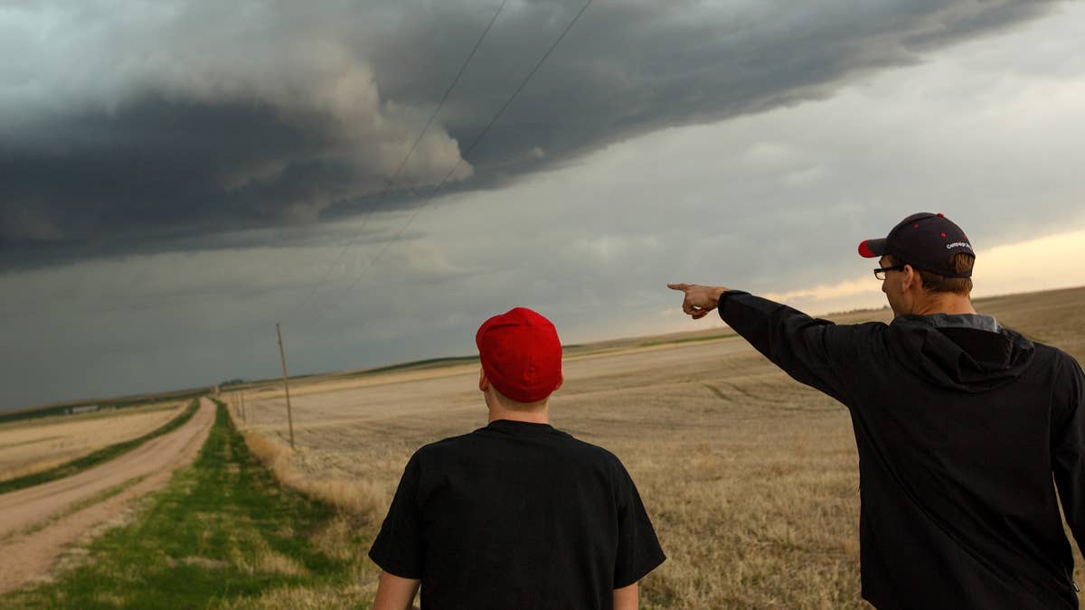
The start of May is shaping up to be a wild one for the South, as the National Weather Service (NWS) has put four states on alert for possible tornadoes this weekend. Alabama, Louisiana, Mississippi, and Texas are all in the crosshairs, with the most dangerous weather expected to develop from Friday into Saturday.
According to the NWS, a surface low is expected to form over the western Gulf of Mexico and then race northeastward. This system will bring a potent mix of warm-air advection and large-scale lift that could spawn severe thunderstorms. “Elevated thunderstorms are expected across the Lower MS Valley,” the agency said, noting that the strongest storms may produce small hail. But the real concern is the potential for surface-based storms to develop along the Gulf Coast, especially if the low tracks far enough north.

If that happens, areas near the coast—including southeast Louisiana, far southern Mississippi, southern Alabama, and the western Florida Panhandle—could see damaging winds and a low-probability tornado risk. The NWS emphasized that the forecast could shift in the next 24 hours, so residents should stay tuned for updates. For now, Texas and Mississippi are already under a severe thunderstorm watch starting Friday morning, with hail and 70 mph winds possible. This follows a pattern of wild weather across the region—just earlier this week, 6 states were on edge as extreme thunderstorms targeted the South.
This isn’t the first time the South has faced a tornado threat this spring. Earlier in the week, 10 states were under a tornado watch as a separate system moved through. And just last month, 5 states were on a tornado watch during a similar setup. The NWS urges everyone in the affected areas to have a plan and stay weather-ready.
Tornado Safety Tips from the National Weather Service
If you live in one of the threatened states, now is the time to brush up on safety protocols. The NWS recommends the following:
- Stay Weather-Ready: Keep a NOAA Weather Radio or local news app handy to monitor tornado watches and warnings.
- At Home: If a tornado warning is issued, head to your basement, safe room, or an interior room away from windows. Don’t forget pets if time allows.
- At Work or School: Follow your tornado drill and go to your shelter location quickly and calmly. Stay away from windows and avoid large open rooms like cafeterias or gyms.
- Outside: Seek shelter in a sturdy building immediately. Sheds, storage facilities, mobile homes, and tents are not safe.
- In a Vehicle: Do not stay in your car during a tornado. Drive to the nearest shelter if possible. If you can’t, get down low and cover your head, or abandon the vehicle for a low-lying area like a ditch.
The NWS also warns that this system could bring more than just tornadoes. Damaging winds and large hail are possible, and the storms could be fast-moving. With the weekend upon us, many families may be traveling or spending time outdoors. Make sure your emergency kit is ready and your phone is charged.
This weekend’s threat is a reminder that spring in the South is prime time for severe weather. The NWS will continue to update the forecast, so check back for the latest. Stay safe out there.