Just when you thought it was safe to put away the snow shovel, Mother Nature is delivering a brutal reminder that winter isn't finished yet. A colossal late-season storm is currently hammering a massive stretch of the northern United States, with the National Weather Service issuing dire warnings that travel will become 'impossible' in many areas through Sunday.
A Widespread Weather Wallop
This isn't your average spring flurry. Winter Storm Warnings are plastered across the map from Montana all the way to Michigan, with more severe Blizzard Warnings cutting through states like South Dakota, Minnesota, Iowa, and Michigan's Upper Peninsula. The system is also threatening parts of Illinois and Nebraska, creating a travel nightmare for a huge portion of the country.

The combination of heavy, relentless snow and howling winds—gusts that could reach a staggering 60 mph—is the recipe for this crisis. The National Weather Service isn't mincing words, stating bluntly that venturing out on roads late Saturday and throughout Sunday could be a life-threatening mistake in the hardest-hit zones.
Travel Gridlock Takes Hold
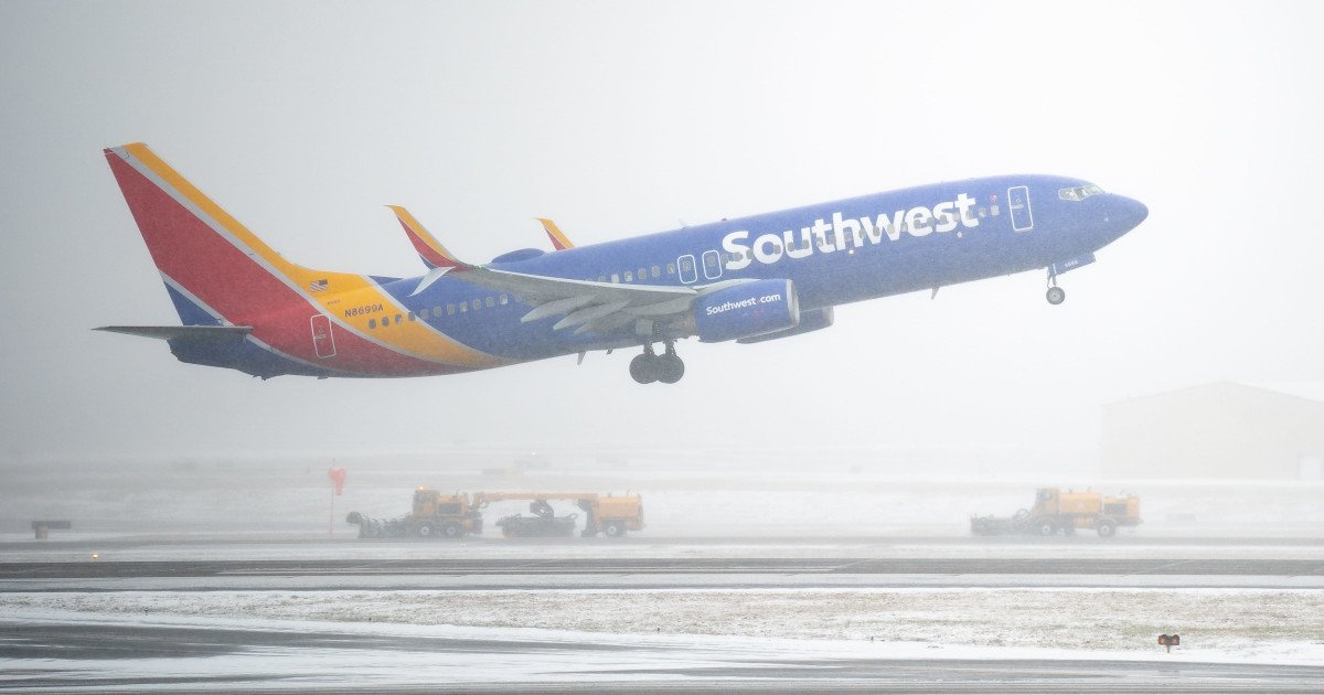
The ripple effects are already being felt at airports nationwide. In a preemptive move to keep passengers safe and avoid stranding aircraft, airlines have canceled nearly 1,300 flights. Delta Air Lines has been particularly impacted, proactively grounding a significant number of flights at its Midwest hubs, including its major operation in Minneapolis-St. Paul.
This kind of disruption echoes recent events, like when a major snowstorm threatened weekend sports and travel, showcasing how quickly weather can bring modern travel to a standstill. For sports fans, this storm could throw a major wrench into plans, similar to how a recent tornado watch threatened Sunday sports across multiple states.
The scope of this event is staggering. Over 100 million Americans are under some form of weather alert as the powerful winds associated with this storm push eastward, threatening damage across the entire Northeast. The National Weather Service has even issued an 'Enhanced Risk' rating for the eastern seaboard, indicating the potential for significant impacts.
Feet, Not Inches
By the time this system finally winds down on Monday, a vast corridor from Montana to the northern edges of Upstate New York is expected to be blanketed by 3 to 6 inches of snow. But that's just the baseline. The real story is in the Great Lakes region, where snow totals are forecast to be measured in feet, not inches. Even areas outside the official Blizzard Warning will contend with blinding, blowing snow that reduces visibility to zero.
This serves as a stark reminder of the power of severe weather, which can change plans in an instant. While this storm is a natural event, it brings to mind the human impact of unforeseen tragedies, such as the recent tragedy involving U.S. service members in Iraq. It also underscores warnings from other dangerous conditions, like the 75 MPH wind alerts that have recently threatened several states.
The message from officials is unanimous and clear: stay home if you can. This storm has the potential to strand motorists, close major highways, and disrupt power for thousands. If travel is absolutely necessary, an emergency kit with blankets, food, water, and a fully charged phone is essential.
For sports enthusiasts, this means double-checking those Sunday game plans, whether you're driving to a local event or heading to the airport. Safety must come first. As this winter beast rages, the best play is to hunker down, stay informed, and wait for the all-clear.