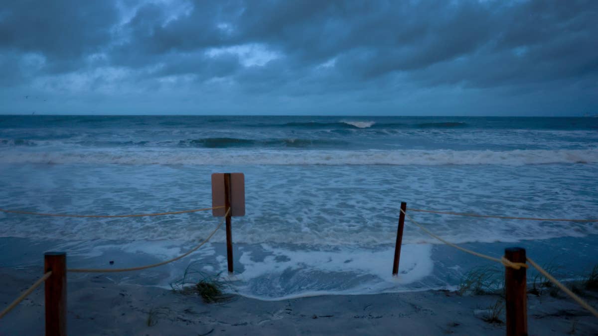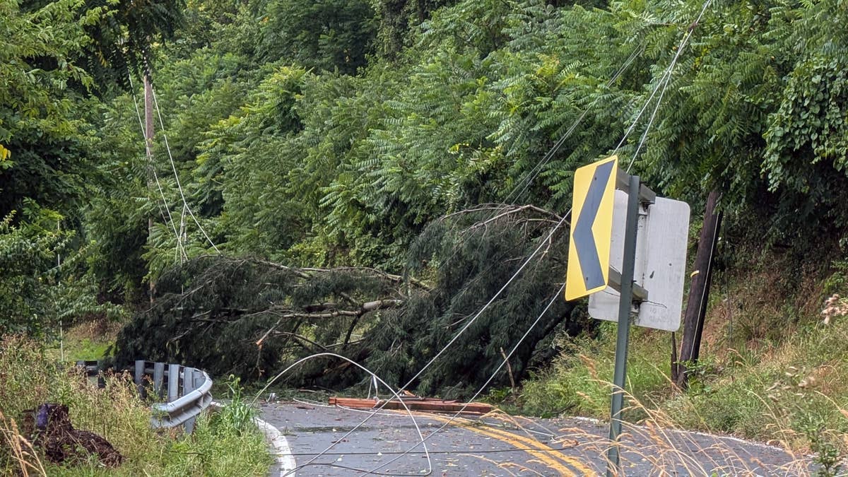
Mother Nature is turning up the dial on Tuesday, April 28, as the National Weather Service has slapped a wind advisory on three U.S. states. Ohio, Alaska, and New York are all bracing for gusts that could hit a staggering 65 miles per hour—enough to knock down tree limbs, send unsecured objects flying, and trigger power outages. If you're in these zones, it's time to secure the patio furniture and keep an eye on the sky.
The advisory warns that “gusty winds will blow around unsecured objects. Tree limbs could be blown down and a few power outages may result.” That's not just a gentle breeze—we're talking about serious force that can turn a routine commute into a white-knuckle drive. The NWS adds, “Winds this strong can make driving difficult, especially for high profile vehicles. Use extra caution.”

Where the Wind Will Hit Hardest
The storm system is targeting specific regions within each state, so not everyone will feel the full brunt. Here's the breakdown of areas that need to be on high alert:
Ohio
- Hill tops and north to northwest face of hills of Wyoming, Livingston, Ontario, Cattaraugus, Allegany, and Southern Erie Counties
- Chautauqua County, including the downslope region of the Chautauqua Ridge to the Lake Erie shoreline
- Schuyler and Seneca Counties
- Steuben and Yates Counties
New York
- Hill tops and north to northwest face of hills of Wyoming, Livingston, Ontario, Cattaraugus, Allegany, and Southern Erie Counties
- Chautauqua County, including the downslope region of the Chautauqua Ridge to the Lake Erie shoreline
- Schuyler and Seneca Counties
- Steuben and Yates Counties
Alaska
- Delta Junction
- Northern Denali Borough
- Eastern Alaska Range North of Trims Camp
The warnings are in effect until late Tuesday evening, so if you're in these spots, plan accordingly. For sports fans, this could mean delays or cancellations for outdoor games—especially in areas where similar severe weather has disrupted events recently.
This isn't an isolated event. The same weather pattern that's stirring up these gusts is part of a larger system that has seven states bracing for extreme thunderstorms on Tuesday. And with the threat of tornadoes looming in other parts of the country, 11 states are already on high alert. It's a volatile day for weather across the nation.
For those in the affected areas, the key takeaway is simple: stay alert. Secure anything that could become a projectile—trash cans, lawn chairs, trampolines. And if you're driving a high-profile vehicle like a truck or an SUV, consider delaying your trip until the winds die down. Power outages are a real possibility, so charge your devices and have a flashlight handy.
We'll keep you updated as the situation develops. In the meantime, stay safe out there, and don't let these gusts catch you off guard.