The calm before the storm is over for a large swath of America. A dangerous and prolonged severe weather event is taking aim at the Southern and Central United States, putting millions of residents on high alert. The National Weather Service has issued urgent warnings for four states in the bullseye: Texas, Oklahoma, Arkansas, and Missouri. The main event kicks off Thursday, but forecasters warn the turbulent conditions could persist for several days, creating a volatile situation for communities in its path.
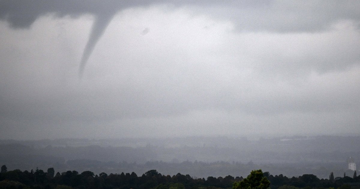
This isn't just a passing thunderstorm. Meteorologists are tracking a potent system capable of unleashing a destructive trio of hazards: large, damaging hail, powerful straight-line winds, and tornadoes. The threat escalates significantly on Friday, where the Storm Prediction Center has already outlined an Enhanced Risk—a Level 3 out of 5 on its severity scale—for the region. "Spring = Severe Weather and a several day stretch starts today," the NWS stated bluntly in its latest forecast discussion. "Chances for damaging winds and hail, and tornadoes peak on Friday... but all hazards look possible each day for the next week."

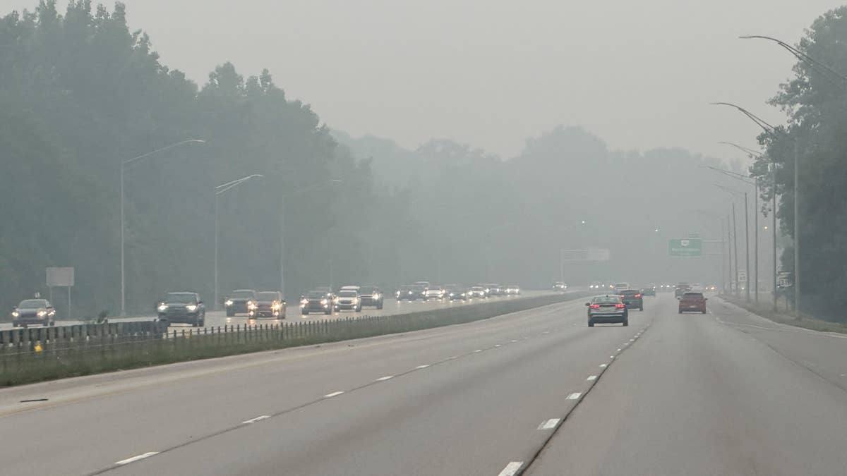
For residents across the Plains and the Mississippi Valley, this means maintaining a heightened state of weather awareness from Thursday straight through the weekend. The conditions are ripe for rapidly developing supercell thunderstorms, which are the primary breeders of strong tornadoes. Having multiple plans in place—whether you're at home, work, or on the road—is not just advisable; it's critical for safety.
Your Action Plan: Wherever You Are
When tornado warnings are issued, seconds count. Knowing exactly what to do in different situations can make the difference between safety and catastrophe. Here is a breakdown of essential safety protocols to follow immediately.
At Home: Your safest bet is to get to the lowest level of a sturdy building. Head to a basement, storm cellar, or a designated safe room. If those aren't available, go to an interior room or hallway on the lowest floor, away from any windows. Small, windowless rooms like bathrooms or closets offer the best protection. Don't forget to bring pets with you if you have time.
At Work or School: Immediately follow your location's established tornado drill. Proceed calmly and quickly to the designated shelter area. Avoid large, open rooms with wide-span roofs like gymnasiums, cafeterias, or auditoriums, as these structures are particularly vulnerable to collapse.
Outdoors or in a Mobile Home: These are among the most dangerous places to be. If you are outside or in a mobile home, seek shelter in a substantial, permanent building immediately. Sheds, storage units, and tents offer no meaningful protection. Do not wait to see the tornado.
In a Vehicle: Driving during a tornado is extremely hazardous. Your best option is to drive to the closest sturdy shelter. If you are caught with no viable shelter option, do NOT park under a highway overpass. Instead, abandon the vehicle and get into a low-lying area like a ditch or ravine, covering your head with your hands. Never try to outrun a tornado in your car.
The key to navigating this severe weather outbreak is staying informed. Keep a battery-powered NOAA Weather Radio handy, monitor trusted local news sources, and have multiple ways to receive wireless emergency alerts on your phone. Ensure your devices are charged before storms arrive. Now is the time to review your family's emergency plan, check your emergency kit, and know exactly where you will go when a warning is issued for your area. Stay vigilant, stay prepared, and stay safe.