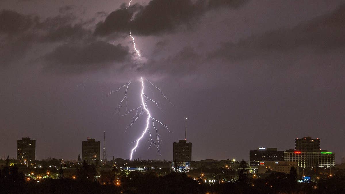
Mother Nature is cranking up the intensity this Tuesday night, as severe thunderstorms are set to roll across a massive swath of the United States. The National Weather Service has flagged three key regions—the Mississippi Valley/Mid-South, Ohio Valley, and lower Great Lakes—for potentially damaging storms. If you're in these areas, it's time to pay attention and prepare.
The main threats? Damaging winds and hail, the kind that can knock down trees, damage roofs, and turn a quiet evening into a chaotic scramble for cover. The storm system is also expected to sweep through parts of Arkansas, Louisiana, and Texas, so folks there should keep an eye on the sky.

According to the National Weather Service, a warm and moist air mass will fuel the development of scattered thunderstorms this afternoon across west-central Texas. A cold front moving into the region will act as the trigger, with weak supercell structures possible. These storms will track southeastward through the late afternoon and evening, bringing a significant large hail threat. As the night progresses, the storms could organize into bowing structures, extending the severe risk into south-central Texas.
The forecast also highlights widespread overnight convection building southeastward across southeast Oklahoma and western Arkansas. This activity is expected to persist through much of the day and spread across Arkansas, east Texas, and northern Louisiana. While the region will see relatively weak vertical shear and poor lapse rates, storms may still pose a risk of gusty, damaging winds. The overall threat is considered marginal, but that doesn't mean you should let your guard down.
This isn't the first time this week that severe weather has grabbed headlines. Earlier, a tornado watch was issued for Kansas and Nebraska, with severe storms threatening five states. And just yesterday, forecasters warned of gusts up to 55 mph across six states. The pattern is clearly active, and tonight's storms add another layer of urgency.
So, what should you do if you're in the danger zone? First, keep a NOAA Weather Radio or local news handy for updates on severe thunderstorm watches and warnings. If a warning is issued for your area, head to your secure location immediately—damaging wind or large hail could be approaching fast. Don't forget to bring your pets if time allows.
Stay away from windows during a severe thunderstorm warning, especially if damaging wind or large hail is on the way. Avoid large open rooms like cafeterias, gymnasiums, or auditoriums, as they offer little protection. If you're in a vehicle, you're actually safer than being outside, but drive to the nearest secure shelter if you have enough time.
These storms are a reminder that weather can change in an instant. Whether you're a sports fan or just someone trying to get through the night, staying informed and prepared is key. For more on how severe weather is impacting the region, check out the latest on severe storms triggering a tornado watch for Iowa, Kansas, and Missouri until 3 AM. Stay safe out there.