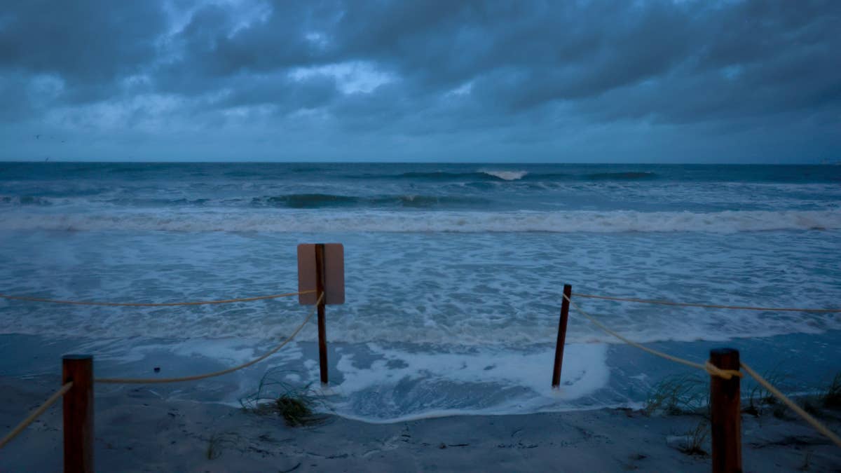
Mother Nature decided to play the ultimate Friday the 13th prank on Minnesota, unleashing a ferocious storm that combined hurricane-force winds with blinding snow squalls. The state found itself in the crosshairs of a weather system that felt more like a scene from a disaster film than a typical winter night.
Winds Whip, Snow Swirls in Chaotic Overnight Assault
The National Weather Service confirmed that east-central Minnesota bore the brunt of the onslaught Thursday night into Friday morning. The most staggering report came from near Bird Island, where wind gusts screamed to a terrifying 74 mph. Even the Twin Cities' Minneapolis-Saint Paul International Airport recorded a powerful 61 mph gust, signaling the storm's widespread intensity. This wasn't just a breezy night; it was a full-throated atmospheric roar.

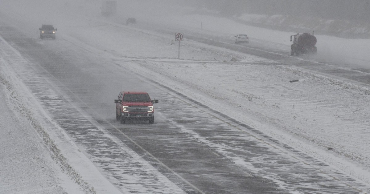
As the winds howled, snow squalls descended, reducing visibility to zero in moments and flash-freezing roadways. The combination created a nightmare scenario for anyone caught on the roads. The Hermantown Police Department issued a stark warning Friday morning, stating, "Multiple vehicles are already stranded, and response times may be significantly delayed as a result. Stay off these roads. We're doing everything we can, but Mother Nature is winning." The plea underscored the dangerous reality for first responders and travelers alike.
Travel Grinds to a Halt as Conditions Deteriorate
The immediate impact was a transportation standstill. What began as a difficult commute late Thursday spiraled into impossible travel by early Friday. The police warning was a clear admission that even emergency services were struggling against the elements. This kind of severe weather disruption often has a ripple effect, potentially impacting everything from freight logistics to sports schedules and events in the region, a familiar threat when major storms hit.
Unfortunately, the Friday the 13th chaos appears to be just the opening act. The forecast for the weekend is grim, with meteorologists predicting the Twin Cities could receive over a foot of snow in the next 48 hours. CBS News reported that some areas may see "1-2+ ft of snow, rates may push 1 to 3 inches an hour and wind speeds of 30 to 50 mph, possibly creating whiteout conditions." The agency bluntly added, "With all of that, widespread travel issues are expected." This evolving situation mirrors alerts seen in other parts of the country, like the 75 MPH wind alerts that recently put five states on high alert.
A Prolonged Battle with the Elements
This back-to-back nature of the storms is what makes this event particularly concerning. Residents and authorities won't get a reprieve to dig out from the initial blast before the next wave hits. The sustained wind threat, even at slightly lower speeds, will continue to whip the new snowfall, creating massive drifts and perpetuating hazardous visibility. It's a recipe for prolonged isolation for some communities and continued strain on road crews and emergency services.
The timing of the initial blast on the superstitious date adds an eerie, memorable footnote to the meteorological event. While meteorologists rely on data, not folklore, the coincidence of such a powerful storm landing on Friday the 13th won't be lost on those experiencing its fury. It serves as a stark reminder of nature's power to disrupt daily life, regardless of the date on the calendar. This kind of widespread disruption shows how game-changing storm threats can paralyze entire regions.
For now, the message from officials across Minnesota remains consistent and urgent: stay home if you can. Allowing plows and emergency vehicles clear access is critical. Residents are advised to prepare for potential power outages due to the high winds and to check on neighbors, especially the elderly or vulnerable, as the severe conditions persist through the weekend.
While the sports world often generates its own headline-grabbing firestorms, this weekend in Minnesota, the only contest is between its residents and a relentless winter storm. Sports Central News urges everyone in the affected areas to prioritize safety, heed all official warnings, and prepare for several days of significant weather-related challenges.