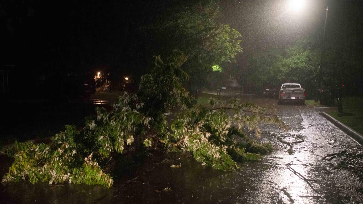
The National Weather Service has put residents in four states on high alert as a powerful storm system threatens to bring destructive winds and massive hail this Wednesday. Montana, Nebraska, South Dakota, and Wyoming are all in the crosshairs of what forecasters describe as a dangerous line of thunderstorms capable of producing 80 mph wind gusts and hail the size of baseballs.
According to the latest radar imagery, a supercell thunderstorm is developing near a surface low in northeastern Wyoming. The storm is expected to intensify and spread eastward into the Black Hills and western South Dakota as the afternoon progresses. Meteorologists are particularly concerned about the combination of strong wind shear and steep temperature lapse rates, which could allow these storms to become severe and long-lived.

"Latest radar imagery depicts a developing supercell in close proximity to a surface low across northeastern Wyoming," the National Weather Service said in a statement. "Aided by weak ascent ahead of a mid-level perturbation and easterly, upslope flow, convection will expand in coverage through the afternoon as it evolves eastward into the Black Hills/western South Dakota vicinity."
The primary threats include damaging wind gusts that could exceed 80 mph, which are strong enough to knock down trees, power lines, and cause structural damage. Additionally, the storm could produce very large hail, with some stones reaching up to 3 inches in diameter—about the size of a large apple. Such hail can cause significant injury to people and animals, and severely damage vehicles and roofs.
Forecasters note that the initial storm mode will likely be supercells, which are the most dangerous type of thunderstorm. However, as the storms grow and merge into clusters, the primary hazard may shift from hail to widespread severe winds. "Increasing storm coverage lends uncertainty to how long discrete supercells will be maintained, with eventual upscale growth/cluster development expected to yield a transition towards severe wind gusts as the primary hazard," the NWS added.
A Severe Thunderstorm Watch may be issued for parts of the affected area within the hour, so residents should stay tuned to local weather updates and be prepared to take action quickly.
How to Stay Safe During Severe Winds
With such extreme winds on the way, it's crucial to know how to protect yourself and your family. Here are some essential safety tips:
- Stay indoors: The safest place to be during high winds is inside a sturdy building. Avoid windows and exterior doors.
- Postpone outdoor activities: If a wind advisory or high wind warning has been issued, delay any plans to be outside.
- If caught outside: Take cover next to a building or under a shelter. Avoid open fields and tall objects.
- Stay clear of roadways and train tracks: A strong gust could blow you into the path of an oncoming vehicle.
- Use handrails: On outdoor walkways and stairs, always use handrails to keep your balance.
- Watch for flying debris: Tree limbs may break, and street signs can become loose. Be aware of objects on balconies that might fall.
These storms come on the heels of similar weather events across the country, including a tornado warning for four states with 75 mph winds just days ago. The pattern of severe weather has been relentless, and forecasters urge everyone in the affected regions to take these warnings seriously.
For those in the path of this storm, it's not just about property damage—it's about personal safety. High winds can turn ordinary objects into dangerous projectiles, and hail of this size can cause serious injury. The NWS emphasizes that no one should underestimate the power of these storms.
As the evening approaches, the storm is expected to intensify, so residents in the warned areas should have a plan in place. Charge your devices, secure loose outdoor items, and identify a safe room in your home. Stay informed through local news and NOAA weather radio.
This severe weather threat is a stark reminder of the power of nature, and it's always better to be overprepared than underprepared. The National Weather Service will continue to monitor the situation and issue updates as needed. Please stay safe this Wednesday.