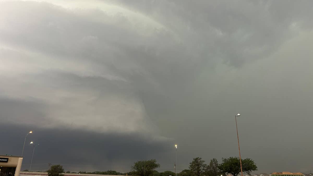
Tuesday night is shaping up to be a rough one for millions of residents along the East Coast. The National Weather Service has issued a tornado warning for a swath of states, including Delaware, Maryland, New Jersey, Pennsylvania, Virginia, and the District of Columbia, with winds expected to reach up to 75 mph.
The warning comes as a powerful line of thunderstorms consolidates across south-central Pennsylvania into northern Virginia. According to the NWS, radar imagery shows the storm system intensifying, with embedded swaths of stronger winds that could cause significant damage. While most wind reports so far have been in the 35-45 mph range, several instances of wind damage have already been noted.

This severe weather event is being fueled by warm temperatures that have climbed into the 80s, creating a pocket of instability known as MLCAPE near 1500 J/kg. Combined with wind shear and a nearly straight hodograph, the conditions are ripe for continued organization of the storm line, posing a threat of damaging winds as it approaches the I-95 corridor over the next one to two hours.
The tornado warning remains in effect until at least 10 p.m. ET. Residents in the affected areas are urged to take the threat seriously and prepare for possible tornadoes. This follows a similar alert earlier this week that put six states under a tornado watch.
Safety Tips from the National Weather Service
If you find yourself in the path of this storm, here are key safety tips to follow:
- Stay Weather-Ready: Keep a NOAA Weather Radio or local news app handy for real-time updates.
- At Home: Head to your basement, safe room, or an interior room away from windows. Don't forget your pets if time allows.
- At Work or School: Follow your tornado drill and proceed calmly to your designated shelter. Avoid large, open rooms like cafeterias or gyms.
- If Outside: Seek shelter in a sturdy building immediately. Sheds, storage facilities, mobile homes, and tents are not safe.
- In a Vehicle: Do not stay in your car. Drive to the nearest shelter if possible. If you can't, get down and cover your head, or abandon the vehicle for a low-lying area like a ditch.
This weather system is part of a broader pattern of severe storms across the region. Earlier this month, over 2,000 flights were grounded as similar conditions slammed the Northeast.
As the storm continues to develop, authorities are urging everyone in the warning zone to stay vigilant and avoid unnecessary travel. The threat of embedded circulations within the line means that even areas not directly under a tornado warning could still experience sudden, dangerous wind gusts.
Stay safe tonight, and keep an eye on the sky.