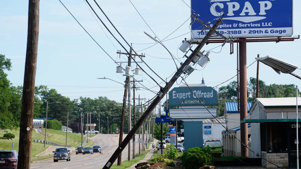
Get ready, Kansas and Nebraska – a dangerous storm system is rolling in tonight, bringing the threat of tornadoes and wind gusts that could hit 75 miles per hour. The National Weather Service has issued a high alert for the central Plains, and residents in these two states need to stay weather-aware as the afternoon and evening unfold.
The NWS Storm Prediction Center announced on June 20 that severe thunderstorms are likely across portions of the central Plains, primarily this afternoon and evening. This isn't your run-of-the-mill thunderstorm – forecasters are warning of large to very large hail, severe and damaging winds, and a few tornadoes. The wind risk is particularly elevated for Kansas and Nebraska, where gusts could top 75 mph.

“Severe thunderstorms are likely across portions of the central Plains vicinity mainly this afternoon and evening,” the National Weather Service said. “Large to very large hail, severe/damaging winds (some 75+mph), and a few tornadoes all appear possible.”
The combination of moderate to strong instability and around 40 knots of deep-layer shear will support supercells as the initial storm mode, according to the NWS alert. This means a risk for large to very large hail early on. But as the evening progresses, storms are expected to merge and grow upscale into one or multiple Mesoscale Convective Systems (MCSs), increasing the damaging wind potential. By Sunday night, the threat could spread south through the Ozark Plateau region.
This latest severe weather event comes on the heels of a tornado threat that loomed over 16 states earlier this week, putting millions on edge. And just last week, 14 states were on high alert as 60 mph winds threatened travel and power. Now, the focus shifts to the central Plains for what could be a volatile night.
If a tornado does touch down, the NWS has a few critical safety tips. First, keep listening to local news or a NOAA Weather Radio for updates on tornado watches and warnings. If you're in a tornado warning area, head to your basement, safe room, or an interior room away from windows. Don't forget your pets if time allows.
If you're caught outside when a tornado approaches, seek shelter immediately inside a sturdy building. Sheds, storage facilities, mobile homes, and tents are not safe. Being in a vehicle is also dangerous – the best move is to drive to the closest shelter. If you can't make it, either get down in your car and cover your head, or abandon the vehicle and find a low-lying area like a ditch or ravine.
We're hoping everyone in the affected areas stays safe. Keep an eye on the sky and be ready to act if conditions worsen.