Florida's famous sunshine is taking an extended vacation this week as a stubborn weather system parks itself over the state. The National Weather Service is sounding the alarm for multiple days of drenching rain and rumbling thunderstorms, with the potential for serious flash flooding, particularly for communities along the Atlantic coast.
This isn't a hurricane, but it's a significant soaking event that could disrupt daily life and, crucially, the sports calendar. The culprit is a cold front that has decided to linger, acting like a conveyor belt for moisture and storm activity. Forecast maps indicate some eastern areas could see rainfall totals climbing toward five inches through midweek, a deluge that could quickly overwhelm drainage systems.

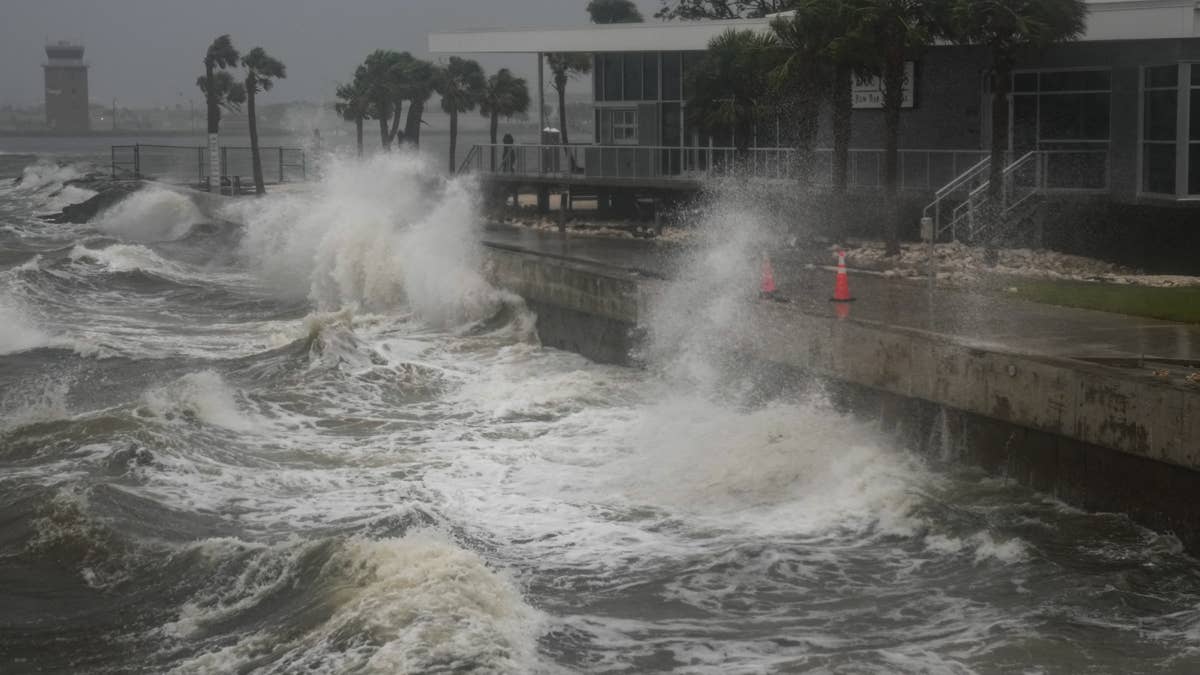
"A cold front lingering over Florida will continue to bring showers and thunderstorms to the state over the next couple of days. Heavy rainfall and flash flooding are possible along the east coast of Florida," the NWS warned in a recent social media update. While major metros like Miami and Jacksonville might avoid the absolute peak rainfall, millions of residents are still facing a prolonged period of wet weather that tests preparedness.
For sports fans and organizers, this forecast throws a major curveball. Outdoor practices, amateur leagues, and even professional schedules could face postponements or cancellations. It's a stark reminder that in Florida, weather is always a player on the field. This situation echoes recent disruptions seen elsewhere, like the severe thunderstorms that targeted Virginia and North Carolina, or the broader multi-state severe weather threats that have sidelined games.
The timing of this system is notable, arriving just weeks before the official start of the Atlantic hurricane season on June 1st. It serves as a potent reminder that Florida's vulnerability to severe weather isn't confined to a single calendar period. The state's history is written in storm tracks, and residents know all too well the importance of staying vigilant.
Reflecting on recent seasons underscores that point. The 2025 Atlantic hurricane season, while sparing the U.S. mainland from a direct hurricane landfall, was still a powerhouse. It generated 13 named storms, including three that reached the catastrophic Category 5 strength. The most devastating was Hurricane Melissa, which made a tragic landfall in Jamaica. The storm caused catastrophic damage, widespread power loss, and resulted in at least 126 fatalities with economic losses estimated near $9.4 billion.
Closer to home, Tropical Storm Chantal brought flooding rains to the Carolinas that season, proving that even systems below hurricane strength can be deadly and destructive. These events highlight the broad spectrum of threats, from tropical monsters to stalled frontal systems like the one approaching now.
As the clouds gather, the key message from officials is preparedness. Ensuring drainage areas are clear, having emergency plans in place, and staying updated on forecasts are critical steps. For the sports world, it means contingency planning and flexibility. The coming days will test Florida's resilience, reminding everyone that when the skies open up, the game plan must adapt.