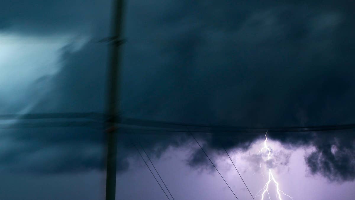
Mother Nature is crashing the Fourth of July party for three Midwestern states tonight. A powerful line of thunderstorms is charging across Illinois, Indiana, and Wisconsin, threatening to unleash 70 mph wind gusts, hail, and frequent lightning. The National Weather Service has issued a severe thunderstorm watch that runs until 7 p.m. local time, urging residents to stay alert and prepared.
Where the Storm Line Hits
The storm line is currently tracking eastward from northern Illinois toward the Lake Michigan shore, while additional storms are forming farther south. The watch area stretches roughly 40 miles east and west of a line from 45 miles south-southeast of Marseilles, Illinois, to 10 miles north of Racine, Wisconsin. That puts major cities like Chicago, Milwaukee, and Gary, Indiana, right in the crosshairs.

This isn't just a garden-variety summer storm. Forecasters are warning of damaging wind gusts that could knock down trees, cause power outages, and turn holiday cookouts into soggy disasters. Hail is also a concern, with some storms capable of producing stones large enough to damage cars and roofs. The National Weather Service emphasized that “damaging wind gusts may occur with the stronger storms,” so anyone in the affected zone should take the warning seriously.
Safety First This Holiday Weekend
With millions of Americans heading outdoors for barbecues, fireworks, and beach trips, the timing couldn't be worse. The National Weather Service has released a set of safety tips to help people ride out the storm. First, keep a NOAA Weather Radio or local news handy for updates. If a severe thunderstorm warning is issued for your area, move to a secure location immediately—and don't forget your pets if time allows.
Stay away from windows, especially if damaging wind or large hail is approaching. Avoid large open rooms like cafeterias, gymnasiums, or auditoriums. Instead, head to a small, interior room on the lowest floor. Sheds and storage facilities are not safe, and taking shelter under a tree is a dangerous move—lightning strikes and falling branches are real threats. If you're in a car, you're better off than being outside, but drive to the nearest sturdy building if you have enough time.
For those planning beach outings or fireworks displays, this storm could throw a wrench in the festivities. Earlier this week, flesh-eating bacteria warnings hit three states ahead of July Fourth beach plans, adding another layer of caution for holiday revelers. And if you're wondering about the broader weather pattern, six states were on alert as tornadoes and 70 mph winds threatened Friday night earlier this week.
What Comes Next
The severe thunderstorm watch will expire at 7 p.m. local time, but the storms could linger into the evening. After that, the holiday weekend should see improving conditions across most of the region. Still, the National Weather Service advises everyone to stay tuned for updates, as conditions can change rapidly.
This storm line is a reminder that summer weather can turn dangerous in a flash. Whether you're grilling in the backyard or watching fireworks from a park, keep an eye on the sky and have a plan. For more on how to stay safe during severe weather, check out South Dakota's recent brush with 3-inch hail and 70 mph winds.
Stay safe, and happy Fourth of July.