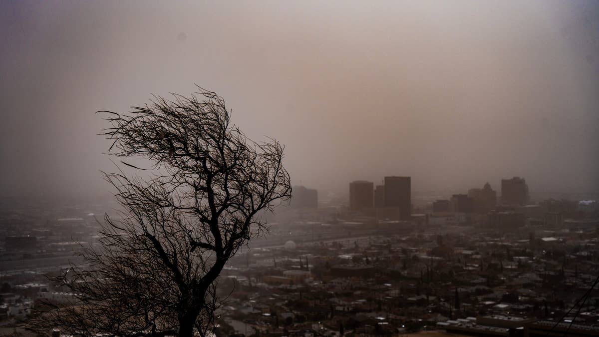
Get ready for a wild Saturday across the southern Plains. The National Weather Service has issued warnings for Kansas, Oklahoma, and Texas as scattered storms are expected to bring damaging wind gusts up to 80 mph, along with the possibility of hail.
Forecasters are tracking a volatile weather setup that could produce intense storms through the afternoon and evening hours. The main threats are straight-line winds strong enough to knock down trees, damage buildings, and cause power outages.

According to the latest briefing from the National Weather Service, a surface trough and wind shift extends from the Texas Panhandle into southwest and central Kansas, with a secondary boundary from northwest Oklahoma into east-central Oklahoma. Easterly winds are prevailing over much of southern Kansas and northern Oklahoma, with dewpoints in the upper 60s to lower 70s Fahrenheit.
“Heating of this moist axis continues as well, with MLCAPE over 2500 J/k,” the NWS said. “Meanwhile, very hot temperatures exist to the south of the old outflow from central into southwest Oklahoma, with several locations over 105°F. Southerly winds prevail across this region, and surface convergence is maximized across northwest Oklahoma, the eastern Panhandles, and into southwest Kansas.”
Visible satellite imagery already shows towering cumulus clouds developing from northwest Oklahoma into north-central Oklahoma, with higher-based clouds over the Texas Panhandle. Models indicate storms will develop by 21Z (4 p.m. ET) within this zone, with movement and additional development eastward through the early evening.
For those in the affected areas, it's crucial to take precautions. The safest place to be during high winds is indoors. Postpone any outdoor activities if a wind advisory or high wind warning has been issued.
If you're caught outside when the winds pick up, take cover next to a building or under a shelter, and stay clear of roadways or train tracks—a strong gust could blow you into the path of a vehicle. Use handrails on outdoor walkways and avoid elevated areas like roofs without adequate railing. Watch for flying debris, as tree limbs may break and street signs can become loose. Also, keep an eye on balconies for objects that might fall.
With the weekend shaping up to be stormy, it's wise to stay weather-aware and have a plan in place. For those with travel plans, be sure to check forecasts and consider adjusting your schedule to avoid the worst of the weather.
While this storm system is the main concern for the Plains, other parts of the country are also dealing with weather-related disruptions. For instance, a storm delayed the LSU-Clemson season opener, showing how severe weather can impact even major sporting events. And in California, a minor earthquake rattled the northern part of the state early Saturday.
Stay safe this weekend, and keep an eye on local alerts if you're in the storm's path.