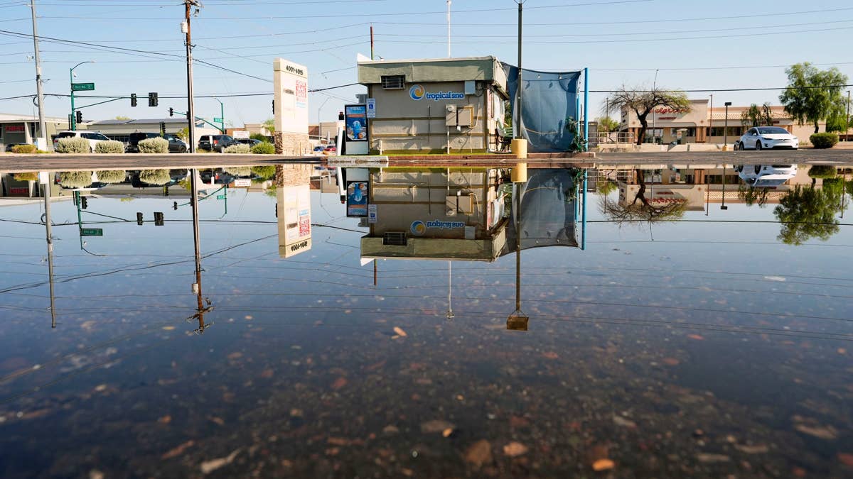
The National Weather Service has put a spotlight on the Carolinas this Friday, August 28, as a surge of monsoon moisture barrels toward the region. Forecasters are warning of torrential downpours that could trigger dangerous flash flooding, especially in low-lying areas.
Early Friday morning, the agency issued a high alert for North and South Carolina, citing "heavy to excessive rain" that may lead to isolated flash flooding. The culprit? A monsoon system that has been channeling tropical-like moisture across the Southwest and into the Rockies, and now it's set to collide with the East Coast.

"Monsoon moisture will continue threats for scattered showers and thunderstorms over the Southwest U.S. into the Rockies each afternoon through this weekend," the National Weather Service said. "Some storms may contain heavy to excessive rainfall."
The Carolinas are also bracing for "strong to severe" thunderstorms that could linger through the afternoon, bringing not just rain but potentially damaging winds and frequent lightning. This comes on the heels of other severe weather events across the country, including 70 mph wind threats in several states and a tornado alert for four states earlier this week.
Flash flooding is one of the deadliest weather hazards, and the NWS is urging residents to take precautions. If you're in a flood-prone zone, the advice is simple: move to higher ground immediately if water starts to rise. Avoid stream beds, drainage ditches, and culverts, which can become death traps in a matter of minutes.
"During periods of heavy rains, stay away from flood-prone areas such as stream beds, drainage ditches, and culverts," the NWS emphasized. "If you live or work in flood-prone areas, remain alert during periods of heavy rain."
This isn't the first time this summer that extreme weather has disrupted the sports calendar. Just last week, giant hail and 70 mph winds threatened seven states, forcing postponements across multiple leagues. And the recent deadly flash floods in Nepal serve as a grim reminder of how quickly water can turn deadly.
For now, the focus is on the Carolinas. The NWS has posted updates on social media, including a radar map showing the storm's trajectory. Residents are advised to monitor local forecasts and heed any warnings from emergency management officials.
As the weekend approaches, the monsoon threat is expected to shift back to the Southwest, but the Carolinas will remain under the gun through Friday evening. Stay safe, stay dry, and don't underestimate the power of moving water.